
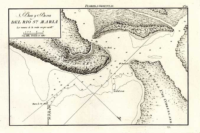
Image: Boca y Barra Del Rio Sta Maria
No higher resolution available.
Boca_y_Barra_Del_Rio_Sta_Maria.jpg (677 × 453 pixels, file size: 75 KB, MIME type: image/jpeg)
Description: Map of the bar of the St. Marys River, between Amelia and Cumberland islands. By Gonzalez, T. (1750-1846) Portulano de la America Setentrional, construido en la Direccion de Trabajos Hidrograficos, 1809. Madrid.
Title: Boca y Barra Del Rio Sta Maria
Credit: Map issued by the Spanish Admiralty http://www.raremaps.com/gallery/detail/7375?view=print
Author: Direccion de Hidrografia (Madrid)
Usage Terms: Public domain
License: Public domain
Attribution Required?: No
Image usage
The following page links to this image:

All content from Kiddle encyclopedia articles (including the article images and facts) can be freely used under Attribution-ShareAlike license, unless stated otherwise.