
Image: Boston1692
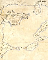
Size of this preview: 483 × 600 pixels. Other resolutions: 193 × 240 pixels | 1,024 × 1,271 pixels.
Original image (1,024 × 1,271 pixels, file size: 487 KB, MIME type: image/jpeg)
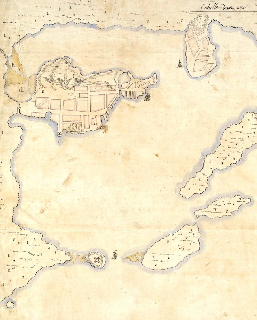
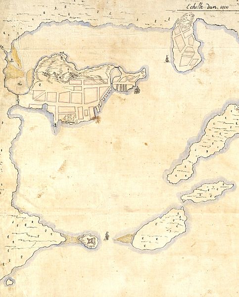
Description: Detail from a 1692 French map of Boston harbor. The Shawmut Peninsula, site of Boston is in the upper left, with Charlestown top center. Castle Island is visible to the lower left.
Title: Boston1692
Credit: Boston Public Library digital map collection: http://maps.bpl.org/details_10927/
Author: Pierre d'Au de Jolliet
Usage Terms: Public domain
License: Public domain
Attribution Required?: No
Image usage
The following page links to this image:

All content from Kiddle encyclopedia articles (including the article images and facts) can be freely used under Attribution-ShareAlike license, unless stated otherwise.