
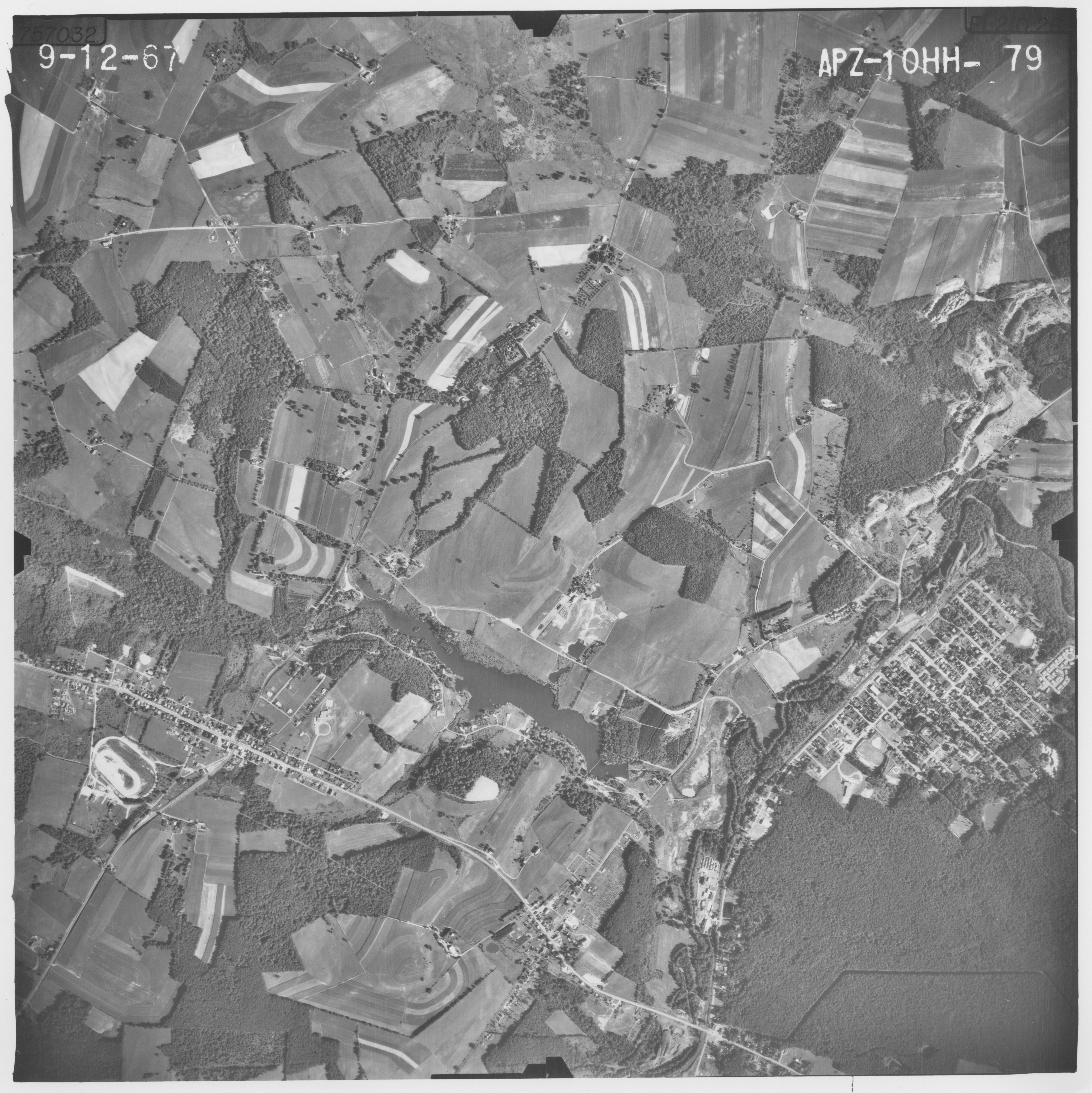
Image: Boswell-Jenner Twp.-Jennerstown 09-12-1967
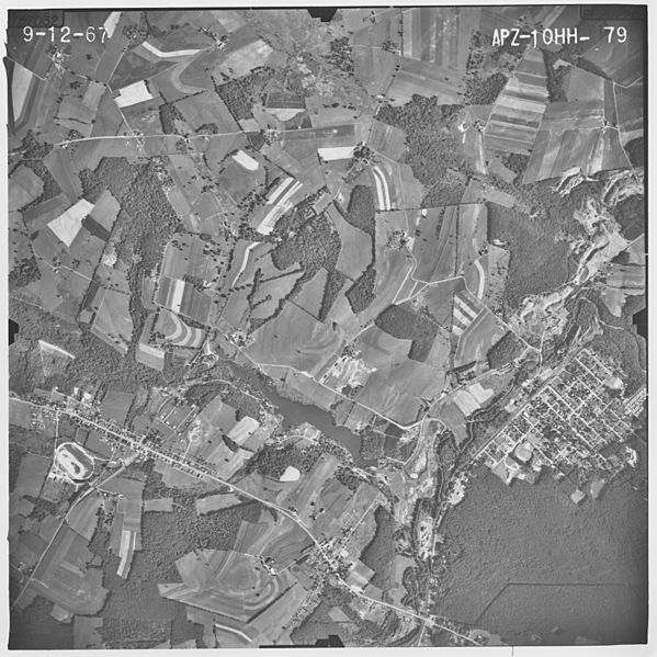
Size of this preview: 599 × 599 pixels. Other resolutions: 240 × 240 pixels | 7,390 × 7,395 pixels.
Original image (7,390 × 7,395 pixels, file size: 4.59 MB, MIME type: image/jpeg)
Description: Aerial photograph of Boswell, Jennerstown and part of Jenner Township, Pennsylvania, Sept. 12, 1967, by the United States Department of Agriculture, Stabilization and Conservation Service.
Title: Boswell-Jenner Twp.-Jennerstown 09-12-1967
Credit: United States Department of Agriculture, Agricultural Adjustment Administration. From website "Penn Pilot: Historical Aerial Photographs of Pennsylvania" http://ceiwin1.cei.psu.edu/pennpilot/ County ID: apz Roll ID: 12hh Photo: 23
Author: Keystone Aerial Services, Philadelphia..
Permission: U.S. Federal government photograph
Usage Terms: Public domain
License: Public domain
Attribution Required?: No
Image usage
The following page links to this image:

All content from Kiddle encyclopedia articles (including the article images and facts) can be freely used under Attribution-ShareAlike license, unless stated otherwise.