
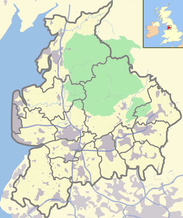
Image: Bowland & Lancs with UK
Size of this preview: 504 × 600 pixels. Other resolutions: 202 × 240 pixels | 600 × 714 pixels.
Original image (600 × 714 pixels, file size: 350 KB, MIME type: image/png)
Description: Map showing the Forest of Bowland and the district boundaries of Lancashire in England.
Title: Bowland & Lancs with UK
Credit: Adapted from Image:Lancashire outline map with UK.png by Jhamez84
Author: Adapted by Dr Greg
Usage Terms: Creative Commons Attribution-Share Alike 3.0
License: CC BY-SA 3.0
License Link: https://creativecommons.org/licenses/by-sa/3.0
Attribution Required?: Yes
Image usage
The following page links to this image:

All content from Kiddle encyclopedia articles (including the article images and facts) can be freely used under Attribution-ShareAlike license, unless stated otherwise.