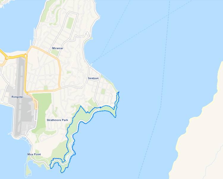
Image: Breaker Bay Map

Size of this preview: 750 × 600 pixels. Other resolutions: 300 × 240 pixels | 829 × 663 pixels.
Original image (829 × 663 pixels, file size: 65 KB, MIME type: image/png)
Description: A map showing the suburb Breaker Bay outlined in blue. The suburb is sitting on the southeast coast of Mirimar Peninsula, with Wainuomata to its east across the Wellington Harbour entrance.
Title: Breaker Bay Map
Credit: Edited map derived from Wellington City Council's map of suburbs and wards, at https://gis.wcc.govt.nz/LocalMaps/Viewer/?map=64d3db16816a48579297270c9d45753e.
Author: Wellington City Council
Usage Terms: Creative Commons Attribution-Share Alike 4.0
License: CC BY-SA 4.0
License Link: https://creativecommons.org/licenses/by-sa/4.0
Attribution Required?: Yes
Image usage
The following page links to this image:

All content from Kiddle encyclopedia articles (including the article images and facts) can be freely used under Attribution-ShareAlike license, unless stated otherwise.
