
Image: Bridgeway Centre, The Meadows - geograph.org.uk - 568433
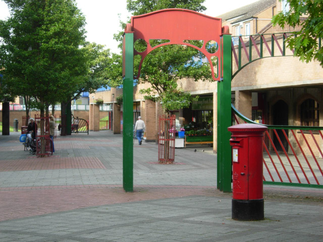
Description: Bridgeway Centre, The Meadows The Meadows was an area of cheaply-built Victorian terraced housing situated on Nottingham's floodplain between the River Trent and the city centre. The area flooded seriously in 1947, although flood defences built in the 1950s have prevented a repeat. The area was comprehensively redeveloped in the 1970s, destroying the original street plan and the main thoroughfare - Arkwright Street. As so often with such comprehensive schemes, many people would say that the sense of community was swept away with the old houses. In the new scheme this shopping centre forms the centrepiece, and while it may not be very attractive visually, there is a range of independent shops that would do many more affluent suburbs proud.
Title: Bridgeway Centre, The Meadows - geograph.org.uk - 568433
Credit: From geograph.org.uk
Author: Stephen McKay
Usage Terms: Creative Commons Attribution-Share Alike 2.0
License: CC BY-SA 2.0
License Link: http://creativecommons.org/licenses/by-sa/2.0
Attribution Required?: Yes
Image usage
The following page links to this image:
