
Image: Cache Creek (Oklahoma) Southwest Quadrant
No higher resolution available.
Cache_Creek_(Oklahoma)_Southwest_Quadrant.jpg (800 × 600 pixels, file size: 201 KB, MIME type: image/jpeg)
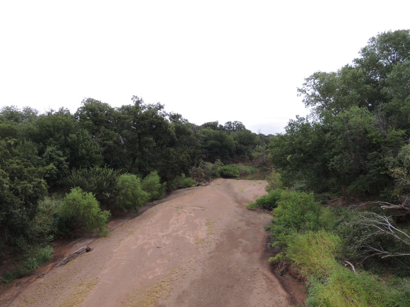
Description: Image illustrates the riparian zone and sandbar or shoal geology of Cache Creek (Oklahoma). The southwest oklahoma creek has periodic variations in stream flow and water levels during twelve month intervals.
Title: Cache Creek (Oklahoma) Southwest Quadrant
Credit: Own work
Author: Jphill19
Usage Terms: Creative Commons Attribution-Share Alike 4.0
License: CC BY-SA 4.0
License Link: https://creativecommons.org/licenses/by-sa/4.0
Attribution Required?: Yes
Image usage
The following page links to this image:

All content from Kiddle encyclopedia articles (including the article images and facts) can be freely used under Attribution-ShareAlike license, unless stated otherwise.
_Southwest_Quadrant.jpg)