
Image: Caliente Corridor

Size of this preview: 800 × 508 pixels. Other resolutions: 320 × 203 pixels | 908 × 577 pixels.
Original image (908 × 577 pixels, file size: 162 KB, MIME type: image/jpeg)
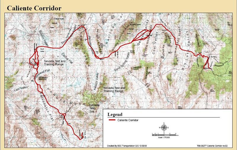
Description: Map of the proposed Caliente Corridor route for transportation of spent nuclear fuel. (The northwest portion of the Amargosa Desert starts at the mountains at the southeast of the Sarcobatus Flat).
Title: Caliente Corridor
Credit: Office of Civilian Radioactive Waste Management, Department of Energy
Author: BSC Transportation
Usage Terms: Public domain
License: Public domain
Attribution Required?: No
Image usage
The following page links to this image:

All content from Kiddle encyclopedia articles (including the article images and facts) can be freely used under Attribution-ShareAlike license, unless stated otherwise.