
Image: CaminoRealAdentro
Size of this preview: 614 × 600 pixels. Other resolutions: 246 × 240 pixels | 698 × 682 pixels.
Original image (698 × 682 pixels, file size: 374 KB, MIME type: image/png)
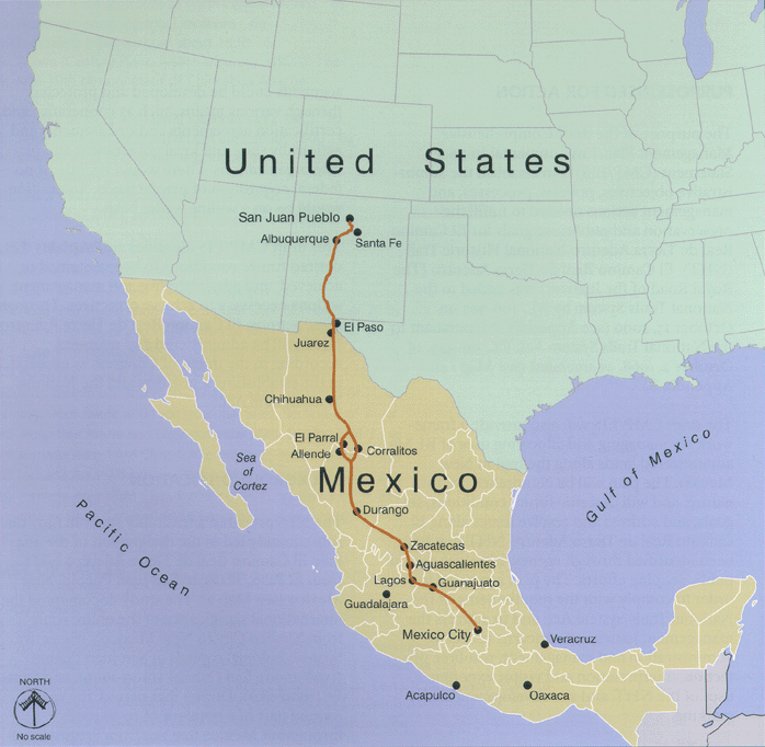
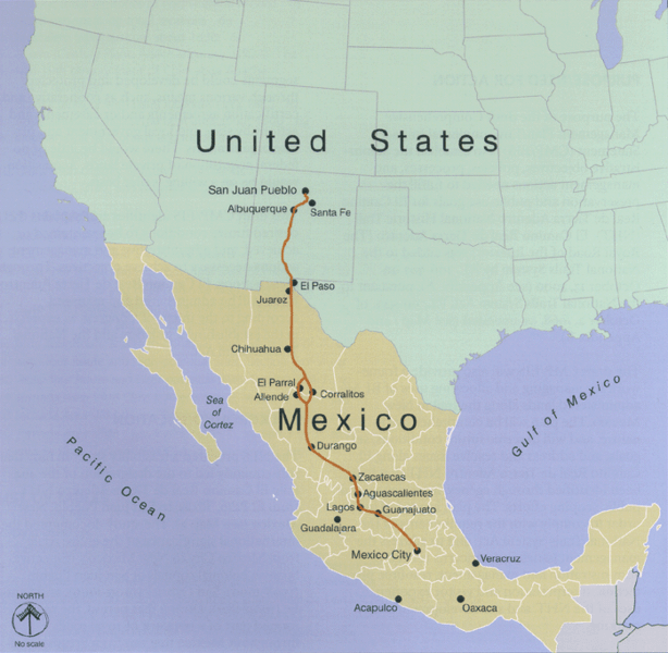
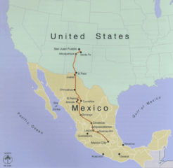
Description: Map of Camino Real de Adentro of the Spanish Viceroyalty of New Spain: Trail route runs between México City in Colonial México, and Santa Fe and San Juan in Colonial New México (Santa Fe De Nuevo Mexico province). Present day nations/borders are shown.
Title: CaminoRealAdentro
Credit: http://www.nps.gov/elca
Author: U.S. National Park Service
Usage Terms: Public domain
License: Public domain
Attribution Required?: No
Image usage
The following page links to this image:

All content from Kiddle encyclopedia articles (including the article images and facts) can be freely used under Attribution-ShareAlike license, unless stated otherwise.