
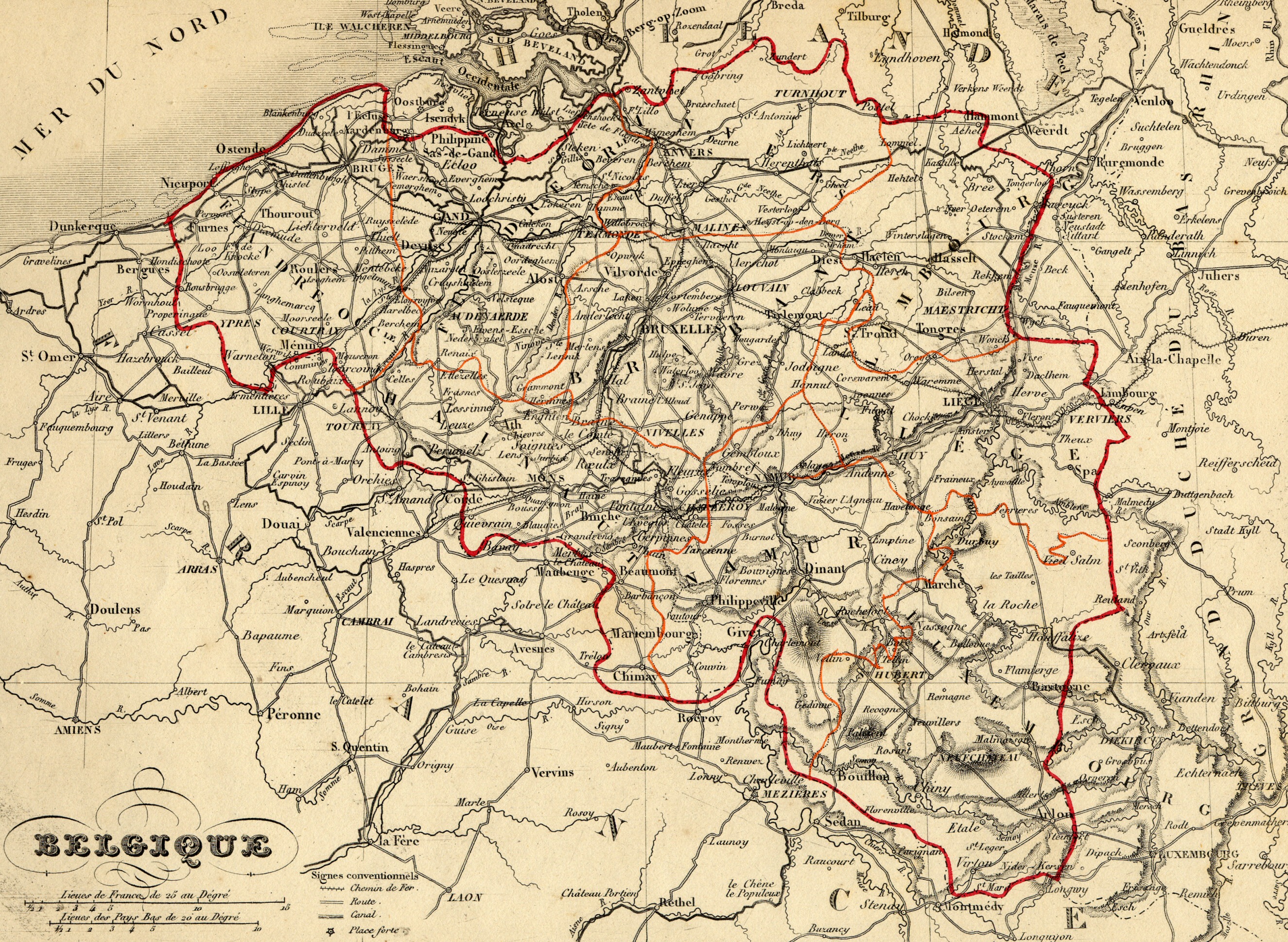
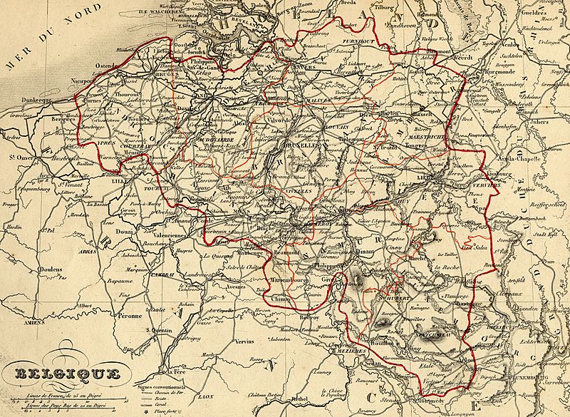
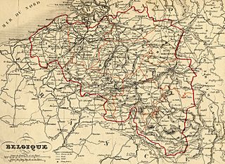
Image: Carte Belgique 1843
Size of this preview: 800 × 585 pixels. Other resolutions: 320 × 234 pixels | 2,650 × 1,939 pixels.
Original image (2,650 × 1,939 pixels, file size: 2.39 MB, MIME type: image/jpeg)
Description: Map of Belgium (wp-EN) with french names made by Alexandre Vuillemin in 1843 extracted from his “Atlas universel de géographie ancienne et moderne à l'usage des pensionnats”.
Title: Carte Belgique 1843
Credit: old maps from histoirepostale.net website
Author: Alexandre Vuillemin (reproduit par histoirepostale.net)
Usage Terms: Public domain
License: Public domain
Attribution Required?: No
Image usage
The following 2 pages link to this image:

All content from Kiddle encyclopedia articles (including the article images and facts) can be freely used under Attribution-ShareAlike license, unless stated otherwise.