
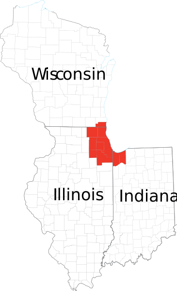
Image: Chicagoland Map

Size of this PNG preview of this SVG file: 365 × 599 pixels. Other resolution: 146 × 240 pixels.
Original image (SVG file, nominally 2,082 × 3,418 pixels, file size: 362 KB)
Description: Derived from maps obtained from [1]. Combined in en:Adobe Illustrator and exported to SVG.
Title: Chicagoland Map
Permission: This map was obtained from an edition of the National Atlas of the United States. Like almost all works of the U.S. federal government, works from the National Atlas are in the public domain in the United States. Online access: NationalAtlas.gov | 1970 print edition: Library of Congress, Perry-Castañeda Library čeština | Deutsch | English | français | Bahasa Indonesia | italiano | македонски | മലയാളം | 中文 | 中文(简体) | 中文(繁體) | +/−
Usage Terms: Public domain
License: Public domain
Attribution Required?: No
Image usage
The following page links to this image:

All content from Kiddle encyclopedia articles (including the article images and facts) can be freely used under Attribution-ShareAlike license, unless stated otherwise.