
Image: China Inner Mongolia relief location map
Size of this preview: 798 × 600 pixels. Other resolutions: 320 × 240 pixels | 2,000 × 1,503 pixels.
Original image (2,000 × 1,503 pixels, file size: 5.72 MB, MIME type: image/png)
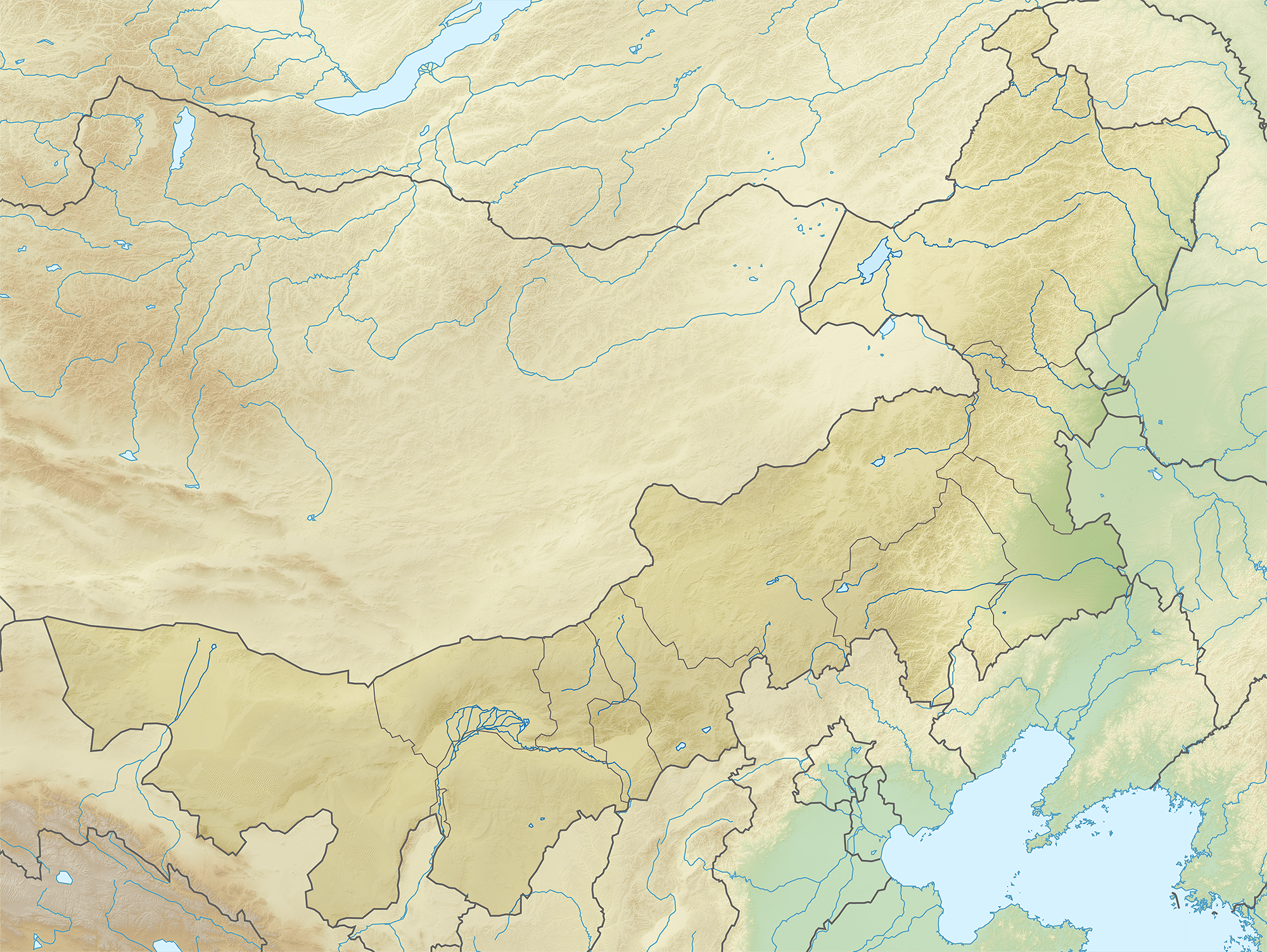
Description: Location map of Inner Mongolia, People's Republic of China Equirectangular projection, N/S stretching 141 %. True scale parallel: 45°00' N. Geographic limits of the map: N: 53.5° N S: 37.0° N W: 96.0° E E: 127.0° E
Title: China Inner Mongolia relief location map
Credit: China_Inner_Mongolia_location_map.svg
Author: China_Inner_Mongolia_location_map.svg: Das steinerne Herz derivative work: Das steinerne Herz (talk)
Usage Terms: Creative Commons Attribution-Share Alike 3.0
License: CC BY-SA 3.0
License Link: https://creativecommons.org/licenses/by-sa/3.0
Attribution Required?: Yes
Image usage
The following page links to this image:

All content from Kiddle encyclopedia articles (including the article images and facts) can be freely used under Attribution-ShareAlike license, unless stated otherwise.