
Image: Cluster-of-erratics-on-Red-Mountain
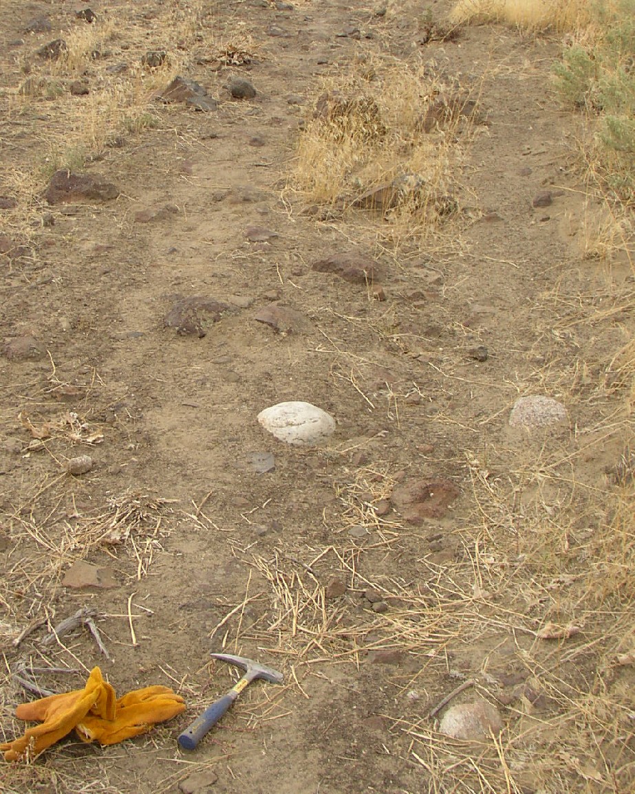
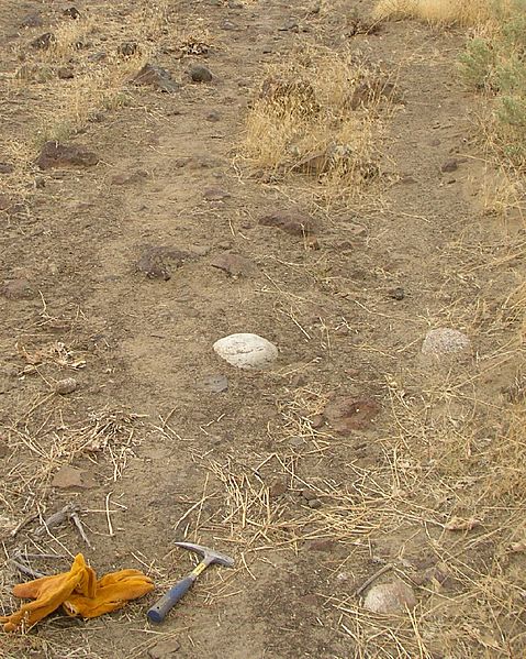
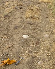
Description: Glacial erratics The maximum elevation of the flood, as established by other indications, is confirmed by glacial erratics, which were stranded on the slopes of the en:Horse Heaven Hills and other elevated regions in the mid-Columbia at elevations of up to 1200 feet above sea level.[1] There were several long ridges (Saddle Mountains, Frenchman Hills, and Rattlesnake Mountain) that were above flood level. Peaks like the Badger, Candy, and Red Mountains were islands.[2][3][4] At this level, much of the en:Columbia Basin would have been submerged. This is a sample of erratics on Red Mountain. References ↑ http://www.iinet.com/~englishriver/LewisClarkColumbiaRiver/Regions/Places/missoula_floods.html ↑ The Friends of Badger Mountain (a nonprofit organization dedicated to preservation of and access to one of the regions mountains) overview ↑ The Friends of Badger Mountain have mapped the erratics found and posted them at this link. ↑ Northwest Science & Technology, Spring 2004 Issue
Title: Cluster-of-erratics-on-Red-Mountain
Credit: Own work
Author: Williamborg
Usage Terms: Creative Commons Attribution-Share Alike 3.0
License: CC-BY-SA-3.0
License Link: http://creativecommons.org/licenses/by-sa/3.0/
Attribution Required?: Yes
Image usage
The following page links to this image:
