
All content from Kiddle encyclopedia articles (including the article images and facts) can be freely used under Attribution-ShareAlike license, unless stated otherwise.
 |
|
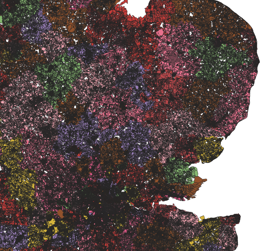
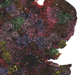
Description: Each district is coloured separately. The map shows all land parcels in Eastern England combined together using cadastral data. Provided by myself for Unclaimedland.co.uk
Title: Combined Land Parcels of Eastern England from English & Welsh Cadastral Data
Credit: Own work
Author: Maparchives
Usage Terms: Creative Commons Zero, Public Domain Dedication
License: CC0
License Link: http://creativecommons.org/publicdomain/zero/1.0/deed.en
Attribution Required?: No
The following page links to this image: