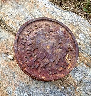
Cadastre facts for kids
A cadastre is like a super detailed record of all the land in a country. It keeps track of who owns what, where the land is, and how big it is. Think of it as a giant, official map and database for every piece of land.
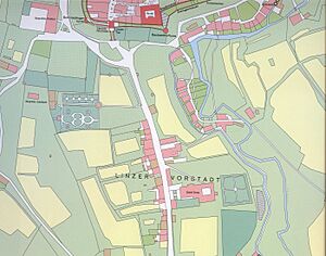
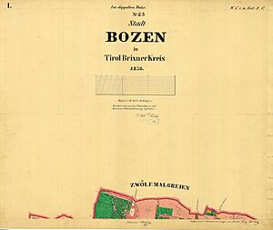
Often, this information is shown on a special map called a cadastral map. These maps help people understand the exact size and location of land areas.
Governments use cadastres to help manage land. They use them to define land boundaries and locations, which are important for legal documents. A land parcel is a specific area of land that has its own set of ownership rights.
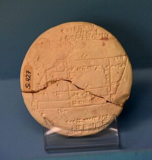
Cadastral surveys are how these boundaries are found and recorded. They create documents, diagrams, and maps. Originally, these surveys helped governments figure out how much land was worth for taxes. A famous early example is the Domesday Book from England in 1086. Later, Napoleon created a detailed system for France that many modern systems are based on.
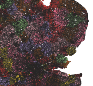
Today, cadastral information is often used in computer systems called Geographic Information Systems (GIS). These systems help manage land and buildings. They can also track changes over time, like for environmental studies.
The cadastre is also very important if there are disagreements or lawsuits between landowners. It provides official facts about land.
Contents
What is a Cadastre?
A cadastre usually includes details about who owns the land and how they own it. It also shows the exact location, size, and area of each land parcel. If the land is used for farming, it might even show what's grown there. The value of the land is often included too. Many countries use cadastres, sometimes along with other records like a title register.
The International Federation of Surveyors describes a cadastre as: A system that keeps up-to-date records of land parcels. It includes information about who has rights to the land (like ownership), any rules or limits on its use, and who controls it. It also has a map-like description of the land parcels. This is often linked to other records that describe the land's value and any buildings on it.
History of Cadastres
Some of the first cadastres were ordered by Roman Emperors. They wanted to find state-owned lands that people had taken over. This helped them collect taxes again. For example, in AD 77, Emperor Vespasian ordered a survey map to be made. This helped him get taxes from lands that had been used privately for years.
After the Roman Empire fell, detailed cadastral maps were not used much. People used written descriptions of land instead. It wasn't until the 1500s and 1600s, starting in the Netherlands, that cadastral maps became popular again. As capitalism grew in Europe, there was a need for better ways to control land. Cadastral maps became important for settling land disputes and for governments to collect taxes more accurately.
Cadastral Maps
A cadastral map is a map that shows the boundaries and ownership of land parcels. Some cadastral maps also show other details. These can include names of survey areas, unique numbers for each parcel, and where existing buildings are. They might also show street names, boundary sizes, and references to older maps.
Cadastral Documentation
Cadastral documentation refers to the official papers and records sent to land offices. These documents help update the cadastre. They can be paper or electronic. Laws explain what information these documents must contain and who can prepare and sign them. This includes owners, licensed surveyors, and legal advisors. The land office checks the information. If it's not complete, they might ask for more details.
Cadastres in Different Countries
United States
In the United States, the Cadastral Survey is part of the Bureau of Land Management (BLM). It keeps records for all public lands. These surveys often involve looking closely at the history of how land was used, legal records, and other documents.
The Public Lands Survey System is a major cadastral survey in the United States. It started in 1785. This system divided surveyed areas into large squares called townships. Each township is about 36 square miles. These townships are then divided into sections, which are about one mile square. Unlike in Europe, this survey happened before many people settled the land. This means it greatly shaped how settlements were built. Properties are often rectangular, and their boundaries usually run north-south or east-west. Land descriptions in Western North America are mostly based on these surveys.
See also
- Assessor's parcel number
- Boundary (real estate)
- Cadastral community
- Cadastral divisions of Australia
- Defter (Ottoman Empire)
- Estate (house)
- Geographic information system (GIS)
- Kadaster (Netherlands)
- Land administration
- Land (economics)
- Land grant
- Land tenure and registration
- Real property
- Recorder of deeds
- Surveying
- Web mapping
- Land registry of Bertier de Sauvigny
- Napoleonic Cadastre
 | Selma Burke |
 | Pauline Powell Burns |
 | Frederick J. Brown |
 | Robert Blackburn |


