
Image: County of Flanders (topogaphy)
Size of this preview: 706 × 599 pixels. Other resolutions: 283 × 240 pixels | 760 × 645 pixels.
Original image (760 × 645 pixels, file size: 65 KB, MIME type: image/png)
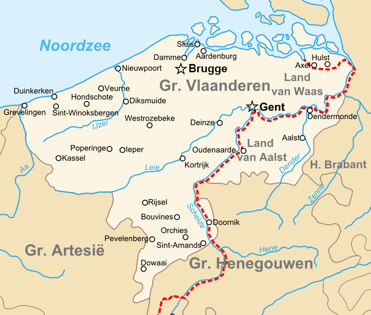
Description: Map of the en:County of Flanders in the late 14th centry.
Title: County of Flanders (topogaphy)
Credit: Own work
Author: Sir Iain
Usage Terms: Public domain
License: Public domain
Attribution Required?: No
Image usage
The following 2 pages link to this image:

All content from Kiddle encyclopedia articles (including the article images and facts) can be freely used under Attribution-ShareAlike license, unless stated otherwise.
.png)