
Image: DC satellite image
Size of this preview: 512 × 599 pixels. Other resolutions: 205 × 240 pixels | 1,230 × 1,440 pixels.
Original image (1,230 × 1,440 pixels, file size: 2.9 MB, MIME type: image/jpeg)
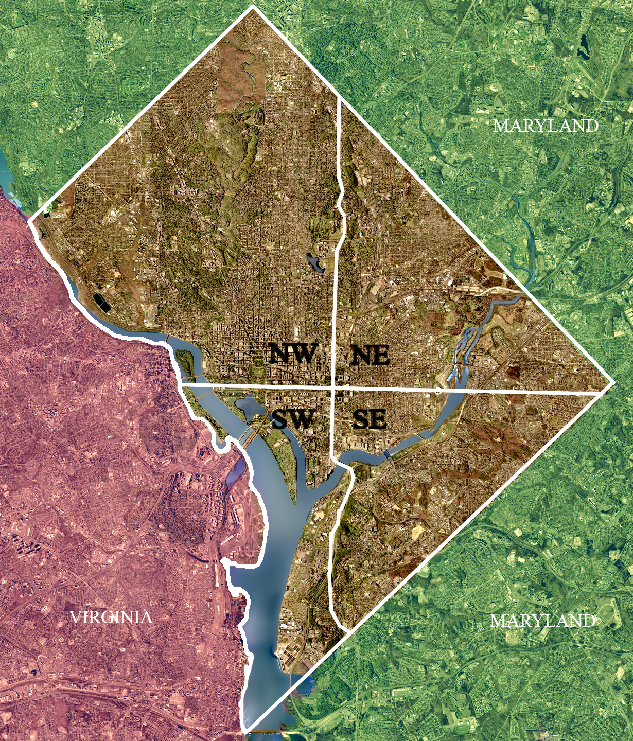
Description: USGS satellite image of the District of Columbia, modified to show territorial boundary and quadrant divisions.
Title: DC satellite image
Credit: USGS satellite image
Author: USGS, modified by User:Postdlf
Usage Terms: Public domain
License: Public domain
Attribution Required?: No
Image usage
The following 2 pages link to this image:

All content from Kiddle encyclopedia articles (including the article images and facts) can be freely used under Attribution-ShareAlike license, unless stated otherwise.