
Image: Dakotacounty2
No higher resolution available.
Dakotacounty2.png (288 × 322 pixels, file size: 11 KB, MIME type: image/png)
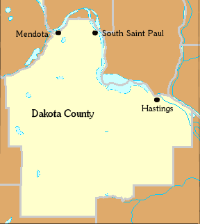
Description: Locator Map of Dakota County, Minnesota, United States Category:Minnesota maps and
Title: Dakotacounty2
Credit: taken from US Census website [1] and modified by User:Appraiser
Author: US Census, Appraiser
Usage Terms: Public domain
License: Public domain
Attribution Required?: No
Image usage
The following page links to this image:

All content from Kiddle encyclopedia articles (including the article images and facts) can be freely used under Attribution-ShareAlike license, unless stated otherwise.