
Image: Darha
No higher resolution available.
Darha.jpg (709 × 485 pixels, file size: 227 KB, MIME type: image/jpeg)
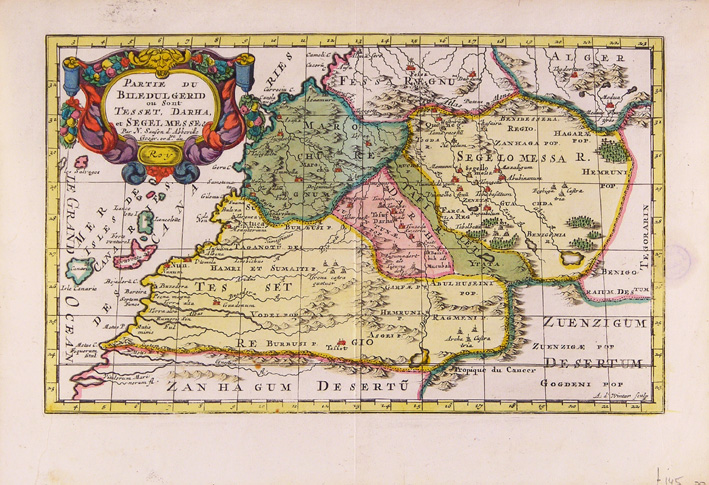
Description: Map of four provinces of Southern Morocco of 1705 including Darha. Original description on the map above is: "t gedeelte van Biledulgerid, waar in leggen tesset, Darha en Segelomessa enz", made by Nicolaas Sanson in 1705 It measures 28 X 17 centimeters
Usage Terms: Public domain
Image usage
The following page links to this image:

All content from Kiddle encyclopedia articles (including the article images and facts) can be freely used under Attribution-ShareAlike license, unless stated otherwise.