
Image: Darjeeling Municipality Wards Schematic Map
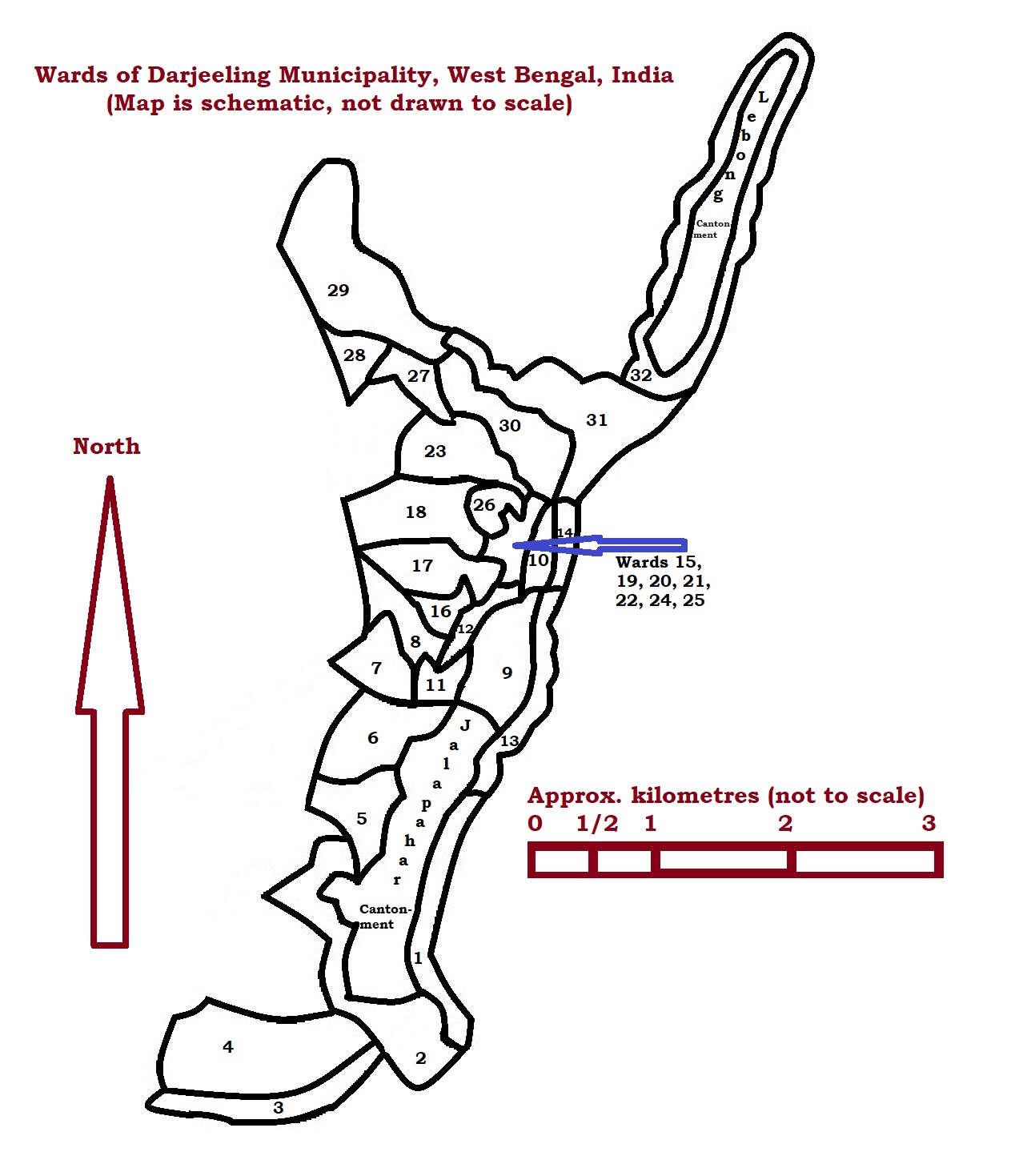
Description: Schematic map of the 32 wards of the Darjeeling Municipality, West Bengal, India (Inspired by maps in (a) Chhetri, Bishal; Lepcha, Kabita (2021), "Spatial Analysis of the Intra-urban Quality of Life: A Study in the Darjeeling Town in India", in Singh, R. B.; Chatterjee, Soumenda; Mishra, Mukunda; de Lucena, Andrews Jose (eds.), Practices in Regional Science and Sustainable Regional Development: Experiences from the Global South, Singapore: Springer, ISBN 978-981-16-2220-5, and (b) Koner, Kaberi; Samanta, Gopa (6 November 2021). "'Where does water go'? A critical analysis of nature of water crisis in Darjeeling city, India". Applied Water Science. Springer Science and Business Media LLC. 11 (12): 184. doi:10.1007/s13201-021-01523-0
Title: Darjeeling Municipality Wards Schematic Map
Credit: Own work
Author: Fowler&fowler
Usage Terms: Creative Commons Attribution-Share Alike 4.0
License: CC BY-SA 4.0
License Link: https://creativecommons.org/licenses/by-sa/4.0
Attribution Required?: Yes
Image usage
The following page links to this image:
