
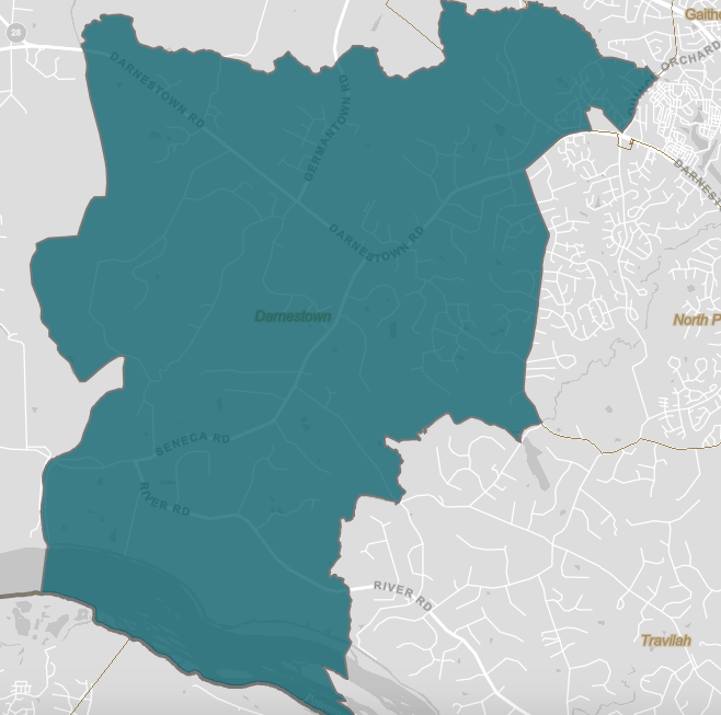
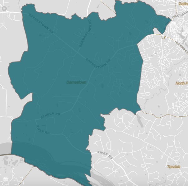
Image: Darnestown CDP MD
Size of this preview: 604 × 599 pixels. Other resolutions: 242 × 240 pixels | 658 × 653 pixels.
Original image (658 × 653 pixels, file size: 70 KB, MIME type: image/png)
Description: This is a map of the Darnestown census-designated place as defined by the US Census Bureau for 2010.
Title: Darnestown CDP MD
Credit: This file came from the US Census here.
Author: US Census
Usage Terms: Public domain
License: Public domain
Attribution Required?: No
Image usage
The following page links to this image:

All content from Kiddle encyclopedia articles (including the article images and facts) can be freely used under Attribution-ShareAlike license, unless stated otherwise.