
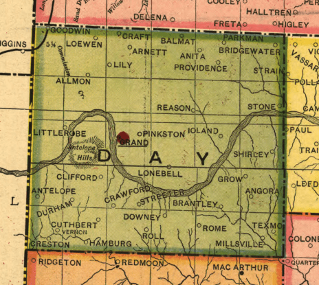
Image: Day County OT map 1905
No higher resolution available.
Day_County_OT_map_1905.png (464 × 415 pixels, file size: 415 KB, MIME type: image/png)
Description: Old Day County, Oklahoma Territory. Detail from 1905 map and is in the public domain.
Title: Day County OT map 1905
Usage Terms: Public domain
License: Public domain
Attribution Required?: No
Image usage
The following 4 pages link to this image:

All content from Kiddle encyclopedia articles (including the article images and facts) can be freely used under Attribution-ShareAlike license, unless stated otherwise.