
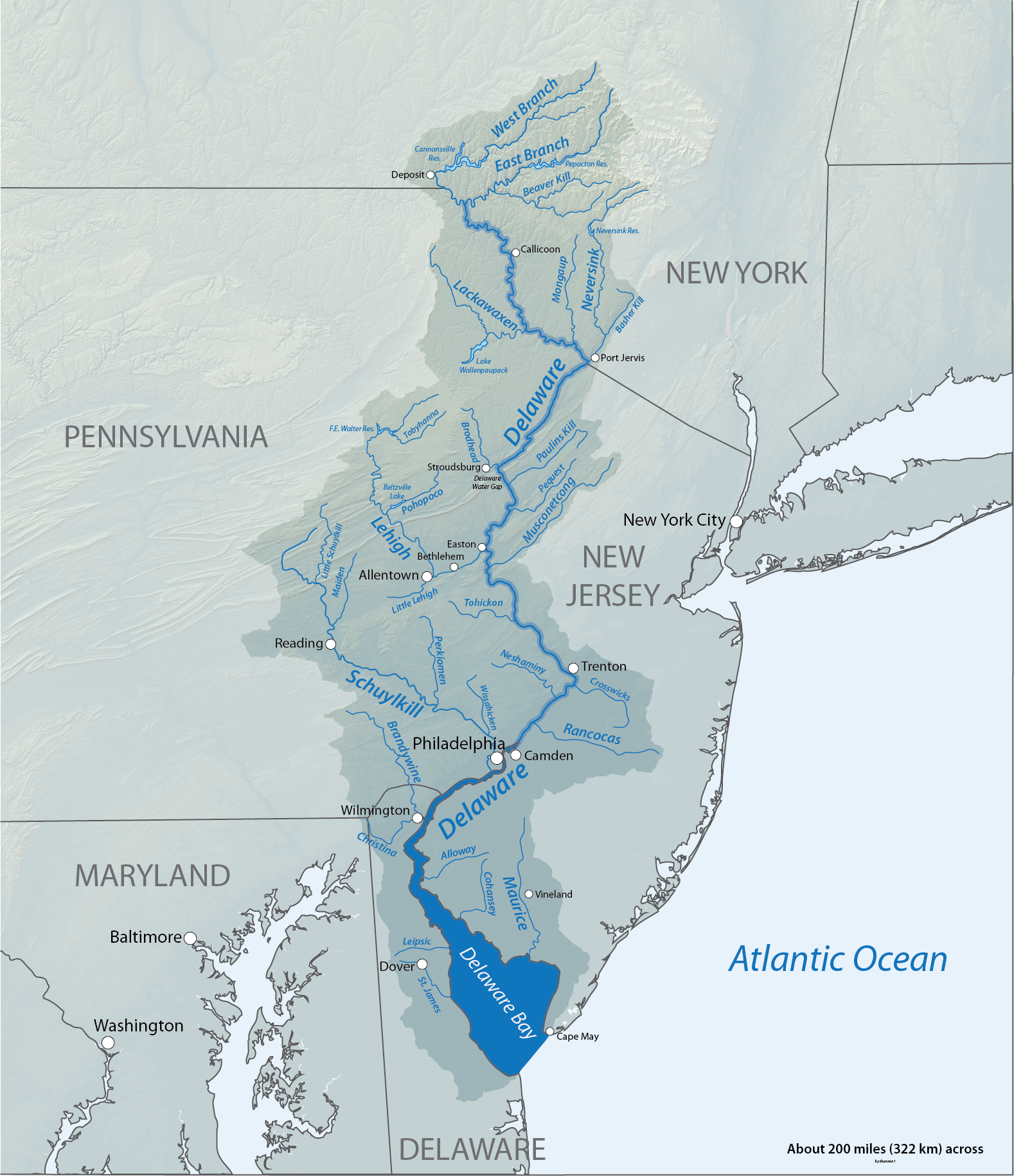
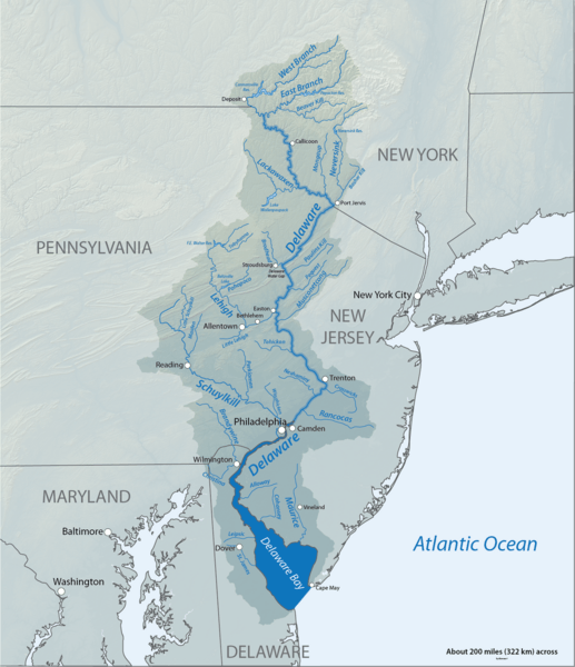
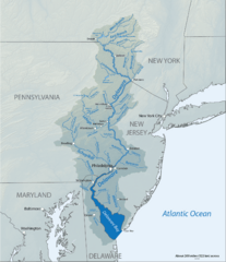
Image: DelawareRiverBasin-01
Size of this preview: 517 × 600 pixels. Other resolutions: 207 × 240 pixels | 1,578 × 1,830 pixels.
Original image (1,578 × 1,830 pixels, file size: 2.63 MB, MIME type: image/png)
Description: Map of the Delaware River basin, showing tributaries, lakes and major cities
Title: DelawareRiverBasin-01
Credit: Created in Adobe Illustrator CS5 by myself, shaded relief data from U.S. Geological Survey, watershed boundary derived from here
Author: Shannon1
Usage Terms: GNU Free Documentation License
License: GFDL
License Link: http://www.gnu.org/copyleft/fdl.html
Attribution Required?: Yes
Image usage
The following page links to this image:

All content from Kiddle encyclopedia articles (including the article images and facts) can be freely used under Attribution-ShareAlike license, unless stated otherwise.