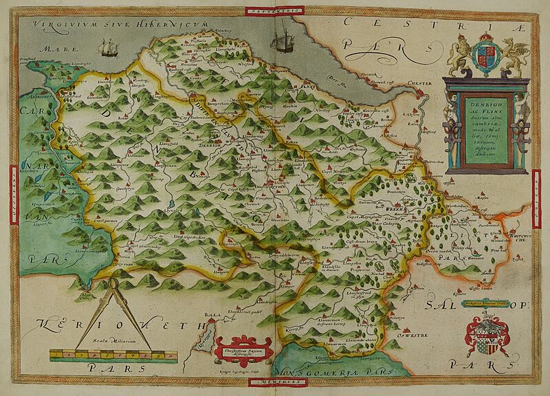
Image: Dinbigh flint Atlas

Size of this preview: 800 × 576 pixels. Other resolutions: 320 × 230 pixels | 8,948 × 6,437 pixels.
Original image (8,948 × 6,437 pixels, file size: 19.62 MB, MIME type: image/jpeg)
Description: Atlas created by cartographer Christopher Saxton in 1576 as part of his 'Atlas of the Counties of England and Wales'. Contains hand-written marginal notes.
Title: Dinbigh Flint Atlas
Credit: This file has been provided by the University of Exeter, Special Collections. Image captured by University of Exeter Digital Humanities and taken from Dinbigh Flint 1576; C Saxton's Atlas of England and Wales.
Author: Christopher Saxton
Permission: CC0
Usage Terms: Creative Commons Zero, Public Domain Dedication
License: CC0
License Link: http://creativecommons.org/publicdomain/zero/1.0/deed.en
Attribution Required?: No
Image usage
The following page links to this image:

All content from Kiddle encyclopedia articles (including the article images and facts) can be freely used under Attribution-ShareAlike license, unless stated otherwise.
