
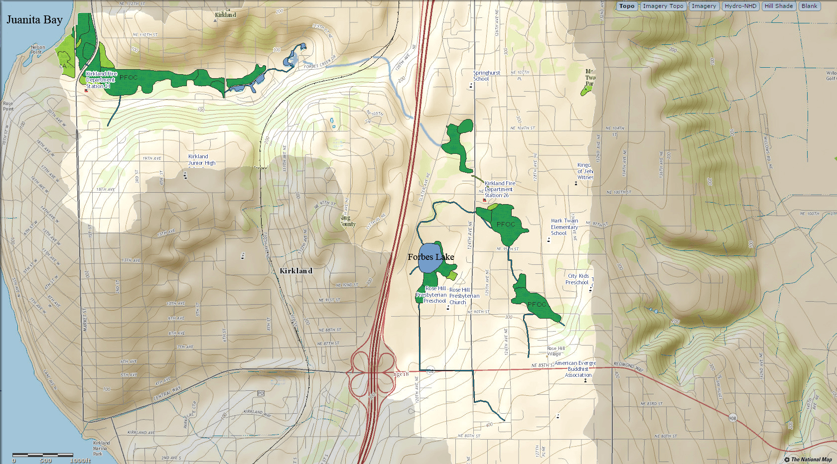
Image: Downtown Kirkland National Map with wetlands
Size of this preview: 800 × 444 pixels. Other resolutions: 320 × 178 pixels | 1,680 × 932 pixels.
Original image (1,680 × 932 pixels, file size: 3.02 MB, MIME type: image/png)
Description: Section of National Map centered near downtown Kirkland, Washington, at Rose Hill about 47 41 30 N 122 11 00 W with wetlands overlay
Title: Downtown Kirkland National Map with wetlands
Credit: USGS National Map web interface
Author: United States Geological Survey
Usage Terms: Public domain
License: Public domain
Attribution Required?: No
Image usage
The following page links to this image:

All content from Kiddle encyclopedia articles (including the article images and facts) can be freely used under Attribution-ShareAlike license, unless stated otherwise.