
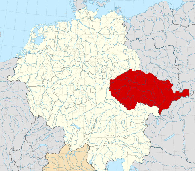
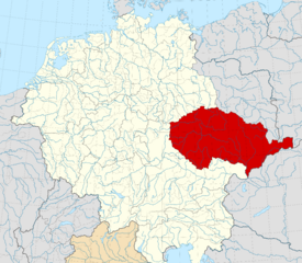
Image: Duchy of Bohemia locator map (1029)

Size of this PNG preview of this SVG file: 686 × 600 pixels. Other resolution: 275 × 240 pixels.
Original image (SVG file, nominally 4,431 × 3,875 pixels, file size: 4.7 MB)
Description: Locator map of the Duchy of Bohemia within the Holy Roman Empire (1029). The Duchy of Bohemia in 1029. Territories of the Holy Roman Empire. Territories connected with the Holy Roman Empire Territories outside the Holy Roman Empire.
Title: Duchy of Bohemia locator map (1029)
Credit: File:Saxony locator map (1000).svg, based on data from File:Droysens-22-23.jpg
Author: Own work based on: work by User:Alphathon
Usage Terms: Creative Commons Attribution-Share Alike 4.0
License: CC BY-SA 4.0
License Link: https://creativecommons.org/licenses/by-sa/4.0
Attribution Required?: Yes
Image usage
The following page links to this image:

All content from Kiddle encyclopedia articles (including the article images and facts) can be freely used under Attribution-ShareAlike license, unless stated otherwise.
.svg)