
Image: Edenvale San Jose aerial
Size of this preview: 758 × 599 pixels. Other resolutions: 304 × 240 pixels | 2,524 × 1,996 pixels.
Original image (2,524 × 1,996 pixels, file size: 1.44 MB, MIME type: image/jpeg)
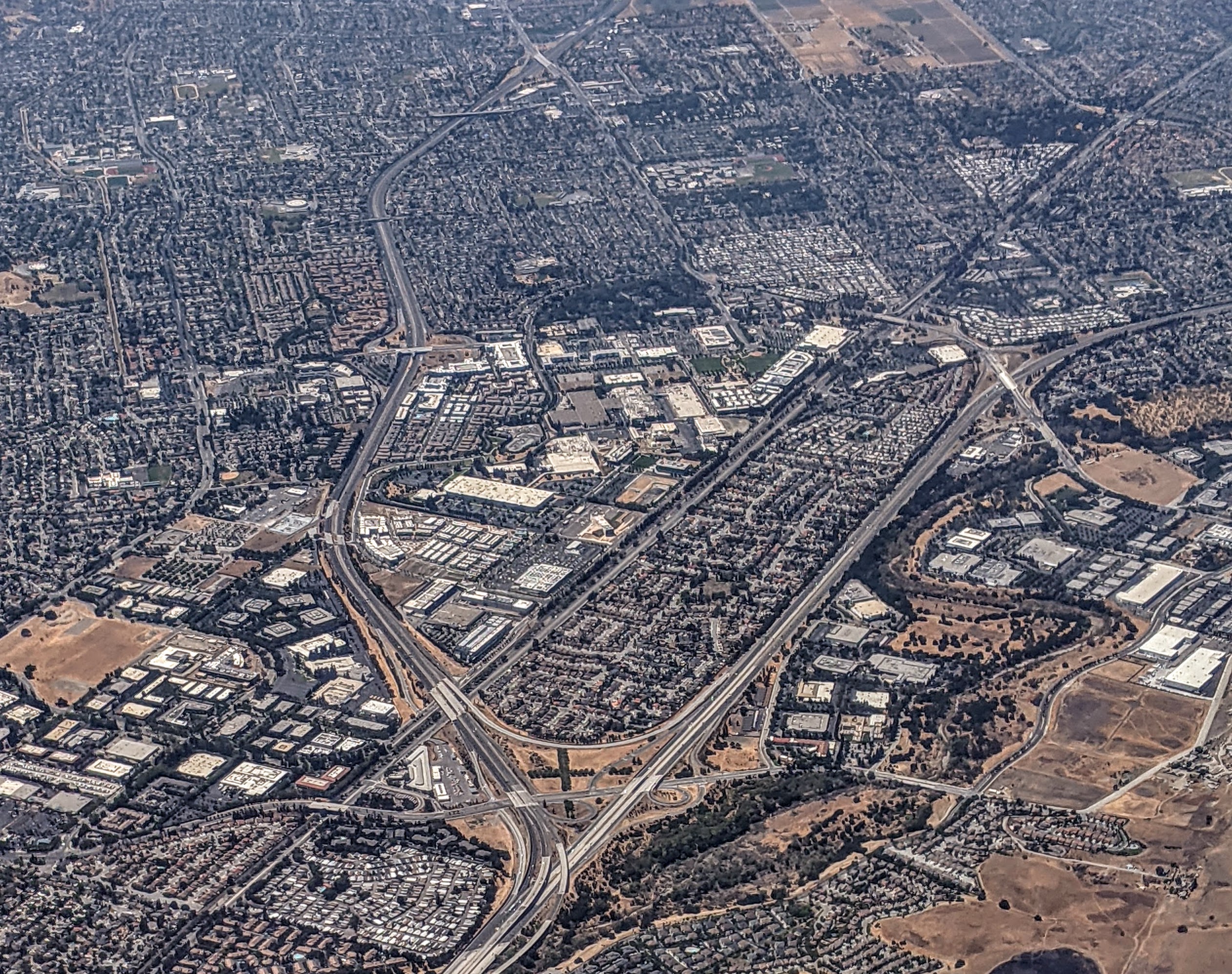
Description: Aerial view of Edenvale planning area of San José, California, from the east, with California State Route 85 (left) and US Highway 101 (right), including neighborhoods Santa Teresa (left), Blossom Valley (upper center), Cottle Transit Village (center), Edenvale (upper right), Silver Creek (lower right)
Title: Edenvale San Jose aerial
Credit: Own work
Author: Dicklyon
Usage Terms: Creative Commons Attribution-Share Alike 4.0
License: CC BY-SA 4.0
License Link: https://creativecommons.org/licenses/by-sa/4.0
Attribution Required?: Yes
Image usage
The following page links to this image:

All content from Kiddle encyclopedia articles (including the article images and facts) can be freely used under Attribution-ShareAlike license, unless stated otherwise.