
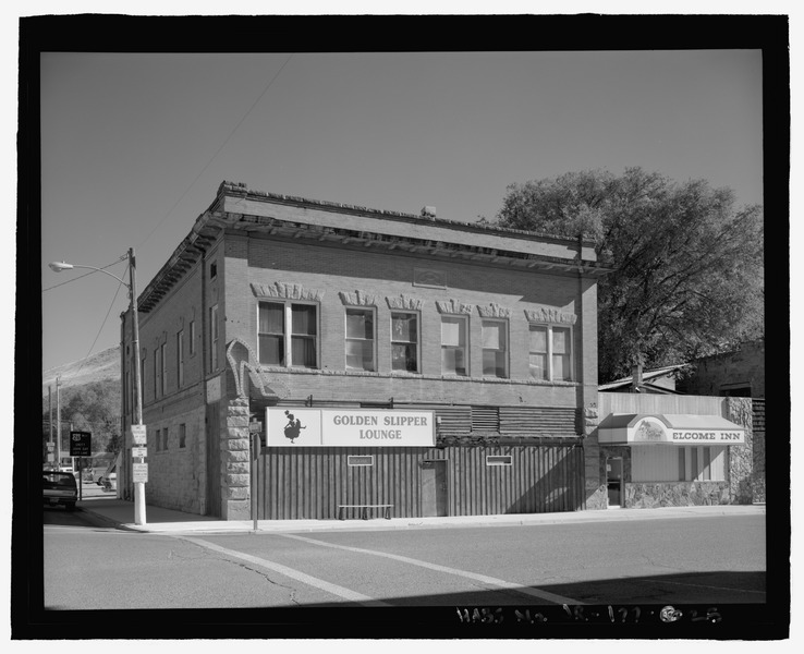
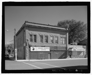
Image: Elevation view of the I.O.O.F. Hall, view looking east - Vale Commercial Historic District, A Street between Holland and Longfellow Streets, north side of B Street between Holland and HABS OR-177-25
Title: Elevation view of the I.O.O.F. Hall, view looking east - Vale Commercial Historic District, A Street between Holland and Longfellow Streets, north side of B Street between Holland and Main Streets, Main Street South from A Street through B Street, and Stone House at 283 Main Street South, Vale, Malheur County, OR
Credit: http://www.loc.gov/pictures/item/or0509.photos.225878p
Author: Norman, James Related names: Avery, Christine, transmitter
Permission: This image or media file contains material based on a work of a National Park Service employee, created as part of that person's official duties. As a work of the U.S. federal government, such work is in the public domain in the United States. See the NPS website and NPS copyright policy for more information.
Usage Terms: Public domain
License: Public domain
Attribution Required?: No
Image usage
The following page links to this image:
