
Image: Els Limits (Position)
No higher resolution available.
Els_Limits_(Position).PNG (426 × 300 pixels, file size: 35 KB, MIME type: image/png)
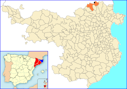
Description: Locator map of the village of Els Límits (the black dot), shown in the municipality of La Jonquera (in orange), in the Province of Girona. In the corner it is a map of Spain divided into autonomous communities and provinces. The Province of Girona is shown in blue, the rest of Catalonia in red.
Title: Els Limits (Position)
Credit: Derived from the original File:La Junquera.png
Author: Локоmotiv
Usage Terms: Creative Commons Attribution-Share Alike 3.0
License: CC BY-SA 3.0
License Link: http://creativecommons.org/licenses/by-sa/3.0/
Attribution Required?: Yes
Image usage
The following page links to this image:

All content from Kiddle encyclopedia articles (including the article images and facts) can be freely used under Attribution-ShareAlike license, unless stated otherwise.
.PNG)