
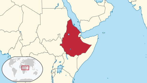
Image: Ethiopia and Eritrea attatched (Derg, PDR)
No higher resolution available.
Ethiopia_and_Eritrea_attatched_(Derg,_PDR).png (611 × 344 pixels, file size: 21 KB, MIME type: image/png)
Description: This is a map of Ethiopia and Eritrea attached which is The People's Democratic Republic of Ethiopia, the map of the Derg military junta (1974–1987) and the Federation of Ethiopia and Eritrea (1952-1962). I created the map using the maps of Eritrea and Ethiopia published by TUBS This map is pre-1993.
Title: Ethiopia and Eritrea attatched (Derg, PDR)
Credit: This vector image includes elements that have been taken or adapted from this file:
Author: PlanespotterA320 using two maps made by TUBS
Usage Terms: Creative Commons Attribution-Share Alike 3.0
License: CC BY-SA 3.0
License Link: https://creativecommons.org/licenses/by-sa/3.0
Attribution Required?: Yes
Image usage
The following page links to this image:

All content from Kiddle encyclopedia articles (including the article images and facts) can be freely used under Attribution-ShareAlike license, unless stated otherwise.
.png)