
Image: Evolution of borders at Four Corners, USA - June 2013
Size of this preview: 791 × 600 pixels. Other resolutions: 317 × 240 pixels | 1,000 × 758 pixels.
Original image (1,000 × 758 pixels, file size: 617 KB, MIME type: image/gif, looped, 13 frames, 33 s)
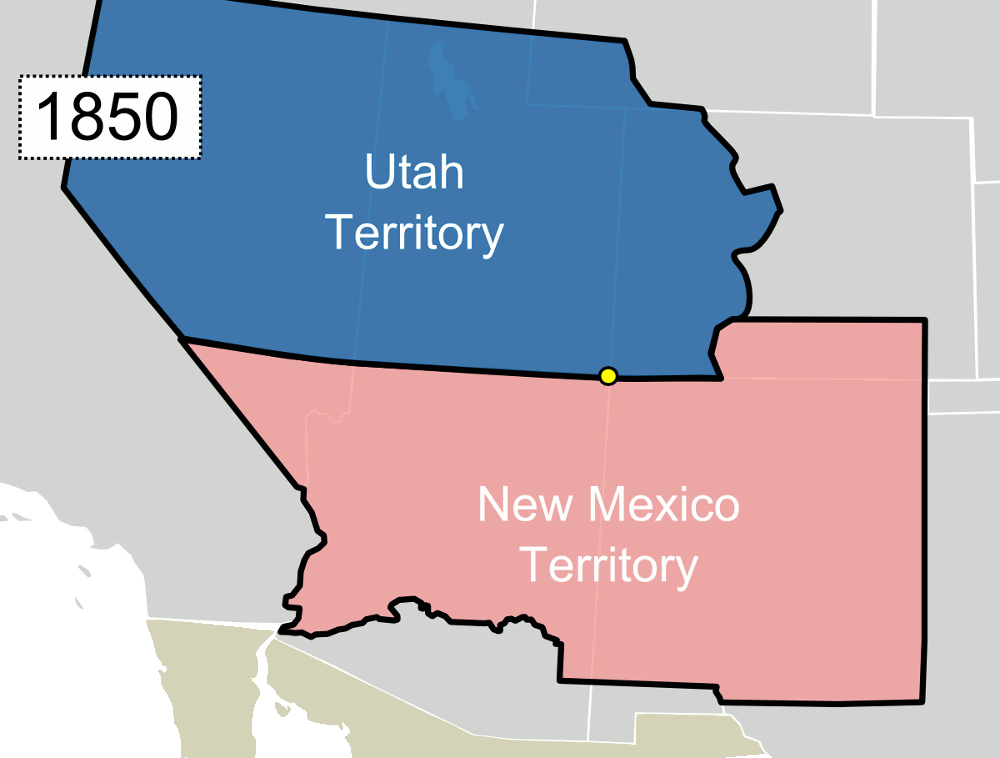
Description: Animation showing the evolution of territorial/state borders of the fours states that make up Four Corners in the United States.
Title: Evolution of borders at Four Corners, USA - June 2013
Credit: This file was derived from: Blank US Map.svg: author: User:Theshibboleth
Author: Mangoman88 (talk)
Usage Terms: Creative Commons Attribution-Share Alike 3.0
License: CC-BY-SA-3.0
License Link: http://creativecommons.org/licenses/by-sa/3.0/
Attribution Required?: Yes
Image usage
The following page links to this image:

All content from Kiddle encyclopedia articles (including the article images and facts) can be freely used under Attribution-ShareAlike license, unless stated otherwise.