
Image: Eyam Moor cairn - geograph.org.uk - 1220616
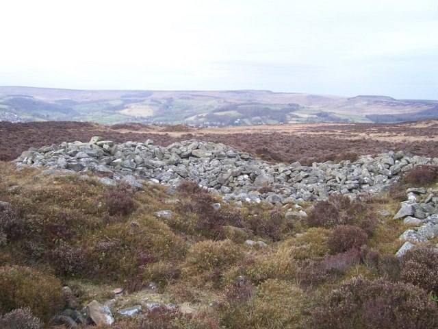
Description: Eyam Moor cairn The remains of Eyam Moor cairn is just a few metres to the north of Wet Withens stone circle. The cairn was partially destroyed by workmen building the turnpike road to Hathersage in 1759. In 'Blacks Guide To Derbyshire 1881' the Eyam Moor Barrow is described as being 90ft in diameter and 35ft high. It is in a poor state of preservation but is a useful navigation aid for anyone visiting the nearby stone circle, being more visible.
Title: Eyam Moor cairn - geograph.org.uk - 1220616
Credit: From geograph.org.uk
Author: Martin Speck
Usage Terms: Creative Commons Attribution-Share Alike 2.0
License: CC BY-SA 2.0
License Link: https://creativecommons.org/licenses/by-sa/2.0
Attribution Required?: Yes
Image usage
The following page links to this image:
