Eyam Moor facts for kids
Quick facts for kids Eyam Moor |
|
|---|---|

Eyam Moor Barrow
|
|
| Highest point | |
| Elevation | 429 metres (1,407 ft) Sir William Hill |
| Geography | |
| Location | Peak District, England |
| OS grid | SK224788 |
| Topo map | OS Explorer OL24 |
Eyam Moor is a beautiful, flat-topped hill in the Peak District, England. It sits between the villages of Eyam and Hathersage in Derbyshire. The highest point on the moor is called Sir William Hill, which is 429 meters (about 1,407 feet) above sea level.
Contents
Exploring Sir William Hill
People aren't sure who Sir William Hill was named after. Some think it might be one of the four Dukes of Devonshire named William Cavendish. Others suggest Sir William Saville, who was in charge of Eyam village, or Sir William Bagshaw, a local official in 1805. A tall radio mast on top of Sir William Hill is easy to spot from far away.
Sir William Hill Road is a very old path. It was once used by packhorses carrying goods across the moor. This road was even part of a major route from Sheffield to Buxton back in 1758. The Barrel Inn, a pub on Sir William Hill Road near Bretton, is the highest pub in Derbyshire.
Ancient Stone Circles
Eyam Moor is home to three amazing stone circles from the Bronze Age. These ancient sites tell us about people who lived here thousands of years ago.
Wet Withens Stone Circle
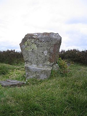
The largest circle is called Wet Withens. It's also known as Eyam Moor 1. This stone circle is in the middle of the moor. It has an earthen bank that is over 30 meters (about 98 feet) wide. There are 10 upright stones, called orthostats, forming a prehistoric henge. Wet Withens is a protected Scheduled monument, which means it's very important and kept safe.
Other Bronze Age Circles
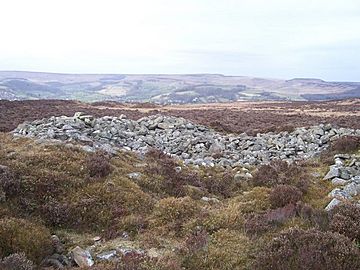
Another Bronze Age stone circle, called Eyam Moor 2, is on the eastern side of the moor. It's about 13 meters (about 43 feet) across and also has an earthen bank. Close by is Eyam Moor 3, a third small circle. This one is also 13 meters wide. It has six stones still standing, but no earthen bank. Both Eyam Moor 2 and Eyam Moor 3 are also protected Scheduled Monuments. You can also find many prehistoric stone piles, called cairns, scattered across the moor.
Ladywash Mine
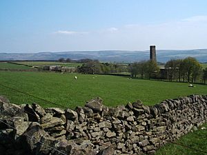
On the southern edge of Eyam Moor is Ladywash mine. This was an old mine that first dug for lead. Later, between 1936 and 1979, it was used to get a mineral called fluorspar. Fluorspar was important for making steel.
Open Access for Everyone
Thanks to a law passed in 2000, called the Countryside and Rights of Way Act 2000, Eyam Moor is now "Open Access" land. This means that people can walk freely across most of this gritstone moorland plateau. There are also clear footpaths that cross the moor. You can reach these paths from car parking spots on Sir William Hill Road, which runs between Eyam and Grindleford.
 | Tommie Smith |
 | Simone Manuel |
 | Shani Davis |
 | Simone Biles |
 | Alice Coachman |


