
Image: FRSchweiz

Size of this preview: 430 × 599 pixels. Other resolutions: 172 × 240 pixels | 692 × 964 pixels.
Original image (692 × 964 pixels, file size: 224 KB, MIME type: image/jpeg)
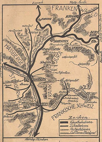
Description: Road Map of Upper Franconia from 1912
Title: FRSchweiz
Credit: image taken from the book „Bamberg und das Frankenland“ by Hans Bayerlein from 1912 ; scanned on 6. ; Januar 2005 --de:User:Dagny 09:56, 6. ; Jan 2005 (CET) ; Source: de.wikipedia.org: 10:50, 6. ; Jan 2005 . ; . ; Dagny (Diskussion) . ; . ; 692 x 964 (229679 Byte) (Oberfranken 1912) ; ==
Author: Hans Bayerlein
Usage Terms: Creative Commons Attribution-Share Alike 3.0
License: CC-BY-SA-3.0
License Link: http://creativecommons.org/licenses/by-sa/3.0/
Attribution Required?: Yes
Image usage
The following 2 pages link to this image:

All content from Kiddle encyclopedia articles (including the article images and facts) can be freely used under Attribution-ShareAlike license, unless stated otherwise.