
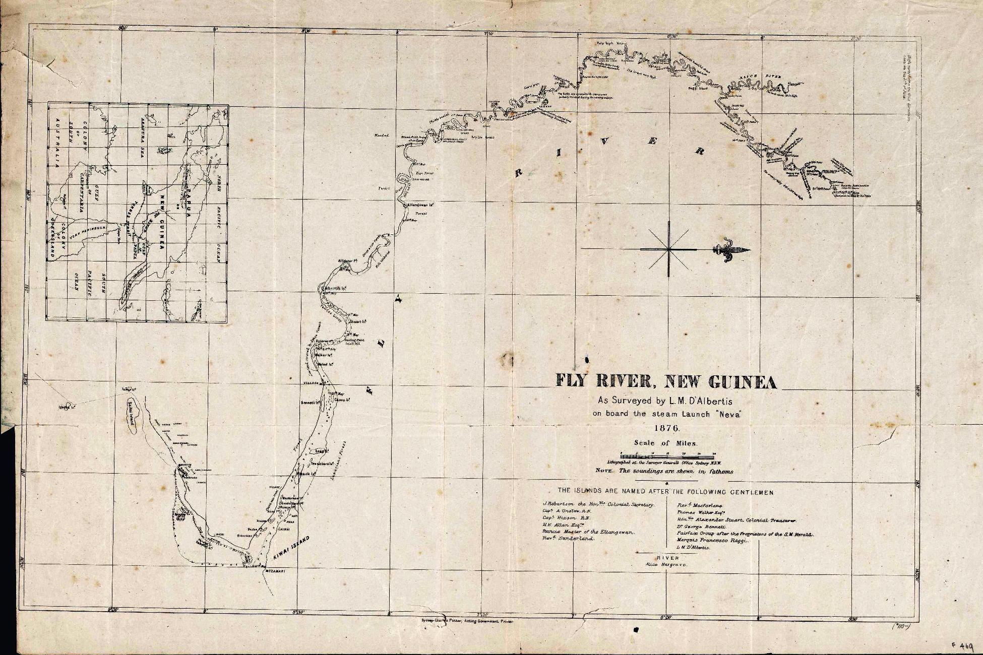
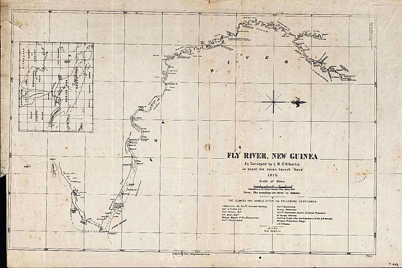
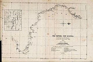
Image: Fly River Map 1876 NLA
Size of this preview: 800 × 533 pixels. Other resolutions: 320 × 213 pixels | 1,950 × 1,300 pixels.
Original image (1,950 × 1,300 pixels, file size: 475 KB, MIME type: image/jpeg)
Description: Fly river, Papua New Guinea: as surveyed by L. M. D'Albertis on board the steam launch "Neva" 1876
Usage Terms: Public domain
Image usage
The following page links to this image:

All content from Kiddle encyclopedia articles (including the article images and facts) can be freely used under Attribution-ShareAlike license, unless stated otherwise.