
Image: Forest Park (St. Louis)
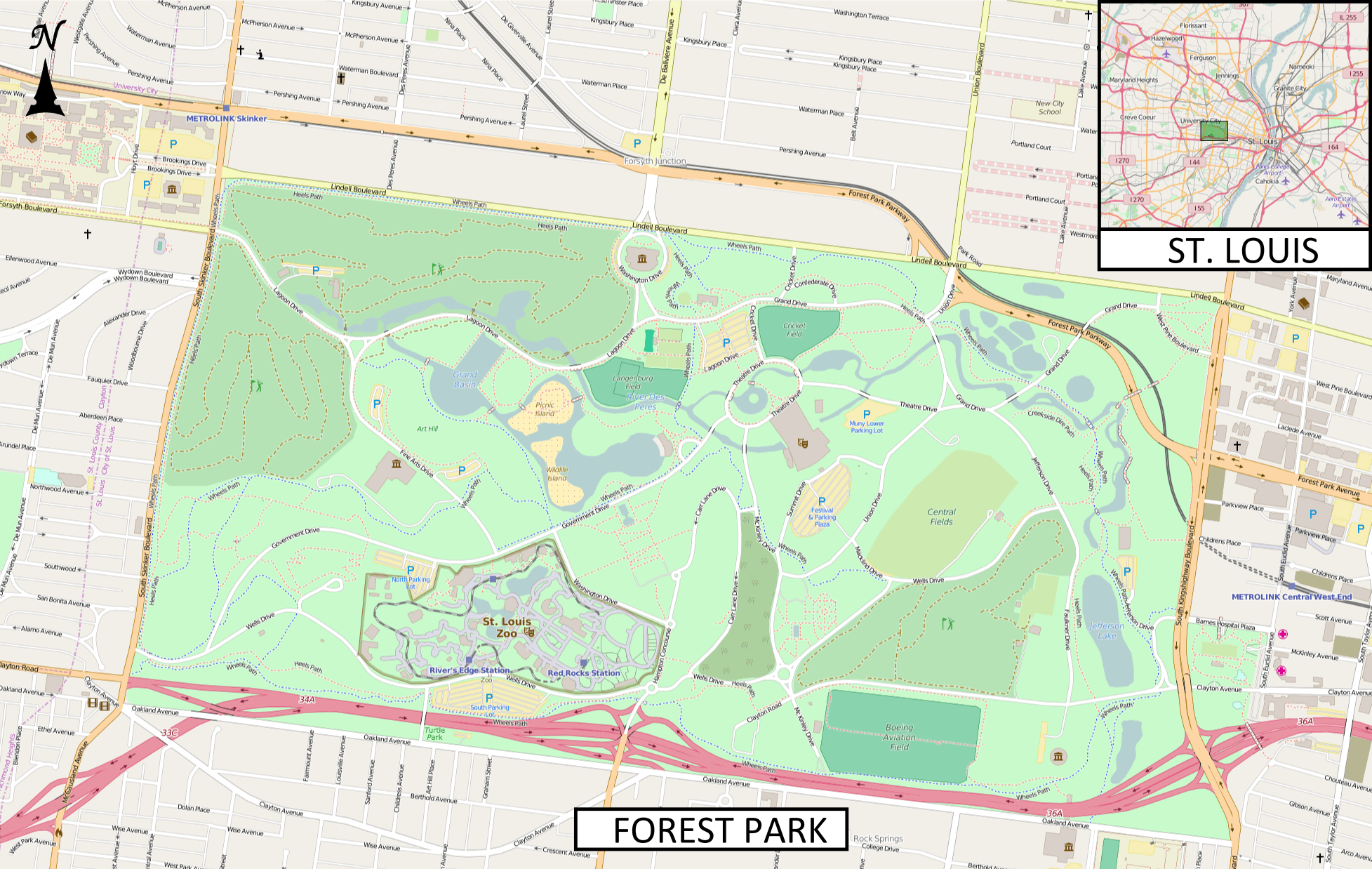
Description: This map of Forest Park (St. Louis) was created from OpenStreetMap project data, collected by the community. The image should remain clear of any additional edits. To annotate the map for an article, use the Infobox or Location Map template and reference the map using map module Forest Park (St. Louis). This map may be incomplete, and may contain errors. Submit corrections to the below source link. Do not rely solely on the map for navigation. To the top right is an insert showing the location of the park within St. Louis. Image for Map Module : Forest Park (St. Louis) Latitude north = 38.65238 Latitude south = 38.62807 Longitude west = -90.30883 Longitude east = -90.25961 Map symbology
Title: Forest Park (St. Louis)
Credit: http://www.openstreetmap.org
Author: OpenStreetMap contributors
Usage Terms: Creative Commons Attribution-Share Alike 2.5
License: CC BY-SA 2.5
License Link: https://creativecommons.org/licenses/by-sa/2.5
Attribution Required?: Yes
Image usage
The following 3 pages link to this image:

.png)