
Image: Fort McMurray smoke map North America yellow
Size of this preview: 750 × 600 pixels. Other resolutions: 300 × 240 pixels | 1,100 × 880 pixels.
Original image (1,100 × 880 pixels, file size: 178 KB, MIME type: image/jpeg)
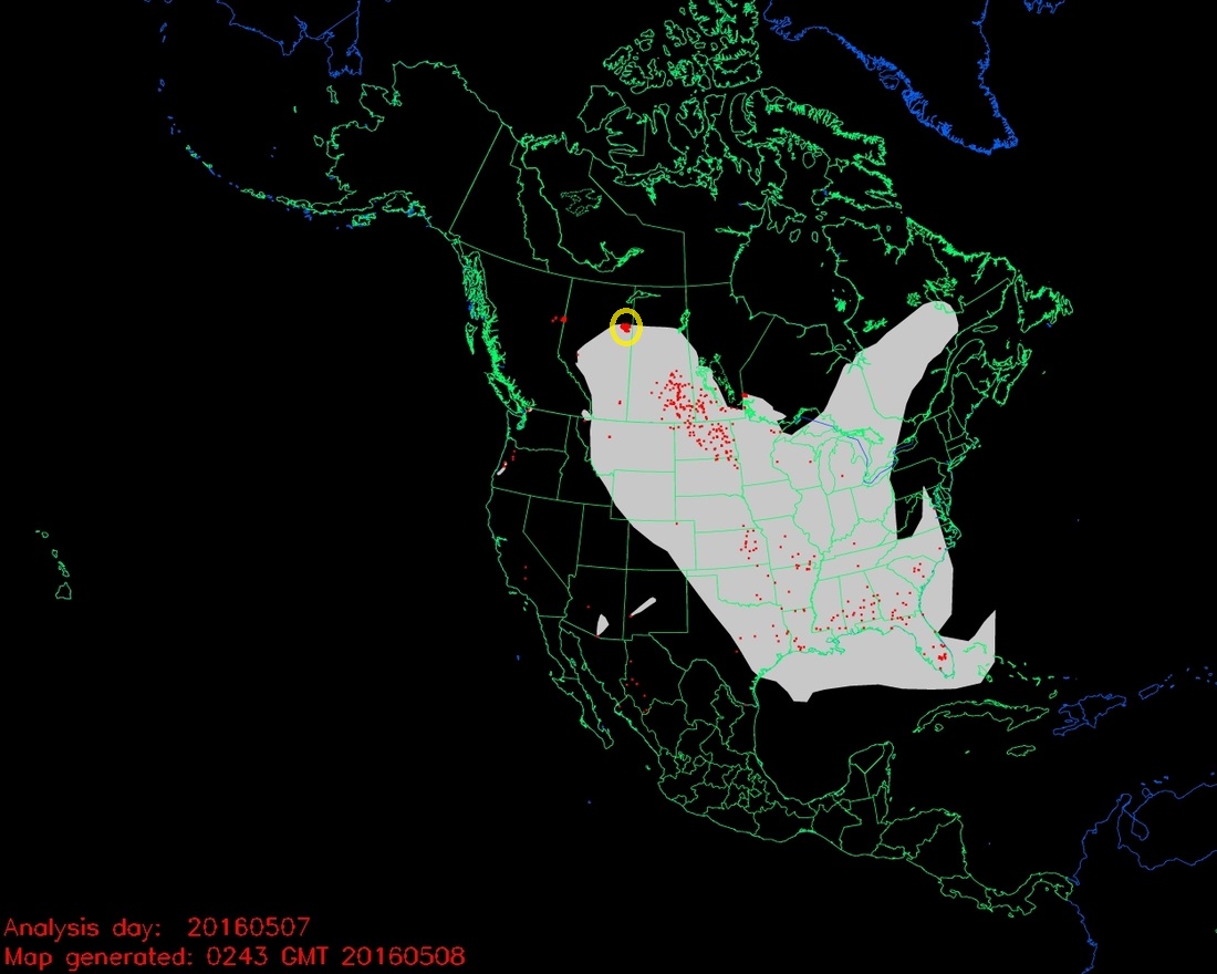
Description: Smoke from the fires in Alberta, primarily the 210,000-acre blaze near Fort McMurray, is affecting Saskatchewan, Manitoba, the north-central United States, and many areas in the eastern U.S. The map above was generated at 19:45 p.m. MDT May 7, 2015.
Usage Terms: Public domain
Image usage
The following page links to this image:

All content from Kiddle encyclopedia articles (including the article images and facts) can be freely used under Attribution-ShareAlike license, unless stated otherwise.