
Image: Front Range Urban Corridor

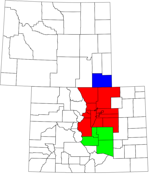
Description: A county map of the Front Range Urban Corridor of Colorado and Wyoming, United States
Title: Front Range Urban Corridor
Credit: Derived from the National Atlas of the United States as converted by David Benbennick (CC) and adapted by Buaidh
Author: Buaidh
Permission: .mw-parser-output .responsive-license-cc{clear:both;text-align:center;box-sizing:border-box;width:100%;justify-content:space-around;align-items:center;margin:0.5em auto;background-color:#f9f9f9;border:2px solid #e0e0e0;border-spacing:8px;display:flex}.mw-parser-output .responsive-license-cc div{margin:4px}.mw-parser-output .rlicense-text div{margin:0.5em auto}@media screen and (max-width:640px){.mw-parser-output .responsive-license-cc{flex-flow:column}.mw-parser-output .rlicense-text{order:1}} This file is licensed under the Creative Commons Attribution 2.0 Generic license. You are free: to share – to copy, distribute and transmit the work to remix – to adapt the work Under the following conditions: attribution – You must give appropriate credit, provide a link to the license, and indicate if changes were made. You may do so in any reasonable manner, but not in any way that suggests the licensor endorses you or your use. https://creativecommons.org/licenses/by/2.0CC BY 2.0 Creative Commons Attribution 2.0 truetrue
Usage Terms: Public domain
License: Public domain
Attribution Required?: No
Image usage
The following page links to this image:
