
Image: Frontiere Monaco
No higher resolution available.
Frontiere_Monaco.gif (800 × 600 pixels, file size: 14 KB, MIME type: image/gif)
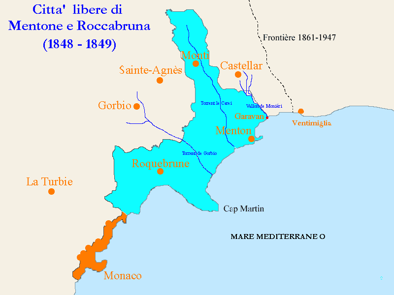
Description: Map of the "Free cities of Mentone & Roccabruna" of the Principality of Monaco in 1848-1849. (Mappa delle Citta' libere di Mentona e Roccabruna nel 1848-1849). Map done with my computer software.
Title: Frontiere Monaco
Credit: Own work
Author: Spalatino
Usage Terms: Public domain
License: Public domain
Attribution Required?: No
Image usage
The following 2 pages link to this image:

All content from Kiddle encyclopedia articles (including the article images and facts) can be freely used under Attribution-ShareAlike license, unless stated otherwise.