
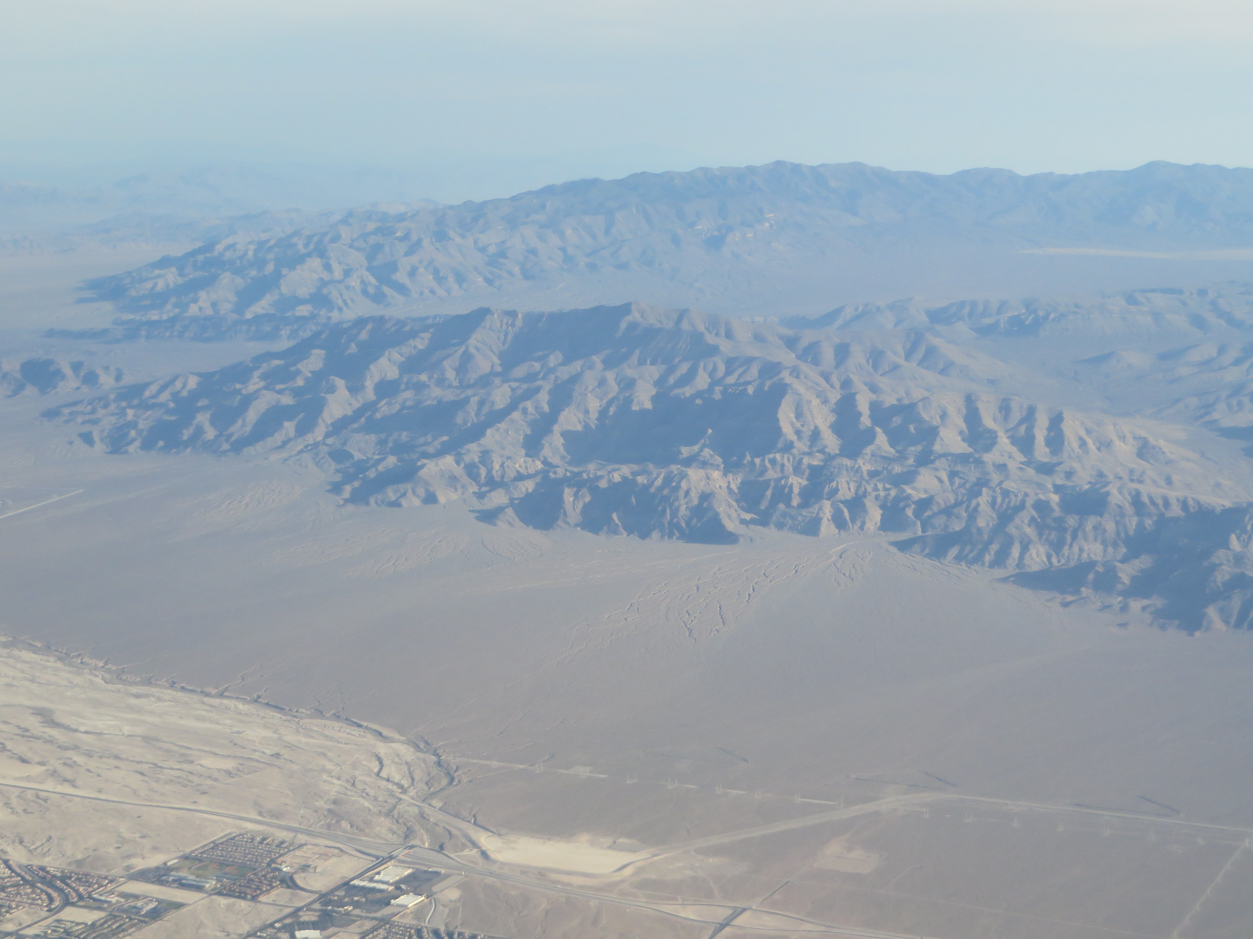
Image: Gass Peak, Las Vegas Range, Near Las Vegas, Nevada (14203698665)
Description: The Las Vegas Range is an arid mountain range in Clark County, Nevada. The range is located in the southeast of the Desert National Wildlife Refuge. The Las Vegas Range is a north-south range, with two main north—south ridgelines. The highpoint of the range, Gass Peak is in the south massif above the Las Vegas Valley. The southern portion of the Las Vegas Range has the linear ridgelines ending at the massif at the south, defining the northern Las Vegas Valley metropolitan area, including the city of North Las Vegas. The range is on the southeast of the Sheep Range, which itself is a massive north—south range. Both ranges are Basin and Range block faulted. To the east is another north—south Arrow Canyon Range. The U.S. Route 93 highway runs between the two ranges, and travels along the border of the Desert National Wildlife Refuge to the west. en.wikipedia.org/wiki/Las_Vegas_Range en.wikipedia.org/wiki/Wikipedia:Text_of_Creative_Commons_...
Title: Gass Peak, Las Vegas Range, Near Las Vegas, Nevada (14203698665)
Credit: Gass Peak, Las Vegas Range, Near Las Vegas, Nevada
Author: Ken Lund from Reno, Nevada, USA
Usage Terms: Creative Commons Attribution-Share Alike 2.0
License: CC BY-SA 2.0
License Link: https://creativecommons.org/licenses/by-sa/2.0
Attribution Required?: Yes
Image usage
The following page links to this image:

.jpg)