Image: Gem-Midden-Groningen-OpenTopo

Size of this preview: 523 × 599 pixels. Other resolutions: 209 × 240 pixels | 9,380 × 10,745 pixels.
Original image (9,380 × 10,745 pixels, file size: 13.44 MB, MIME type: image/jpeg)
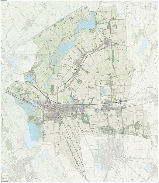
Description: Topographic map of the Dutch municipality of Midden Groningen as of 2018. This map is compiled from open geo data sources (Dutch Top10NL & Top25Namen (CC-BY Kadaster). Buildings from Dutch BAG registry (CC-BY Kadaster). Roads taken from OpenStreetMap, CC-BY OpenStreetMap community. Hillshading from AHN2 registry. Compilation and visualization: Jan-Willem van Aalst, using QGIS.
Title: Gem-Midden-Groningen-OpenTopo
Credit: Own work
Author: Janwillemvanaalst
Usage Terms: Creative Commons Attribution-Share Alike 4.0
License: CC BY-SA 4.0
License Link: https://creativecommons.org/licenses/by-sa/4.0
Attribution Required?: Yes
Image usage
The following page links to this image:

All content from Kiddle encyclopedia articles (including the article images and facts) can be freely used under Attribution-ShareAlike license, unless stated otherwise.
