
Image: Gerlach, Nevada Historical Marker No. 152, Gerlach, Nevada (11128459705)
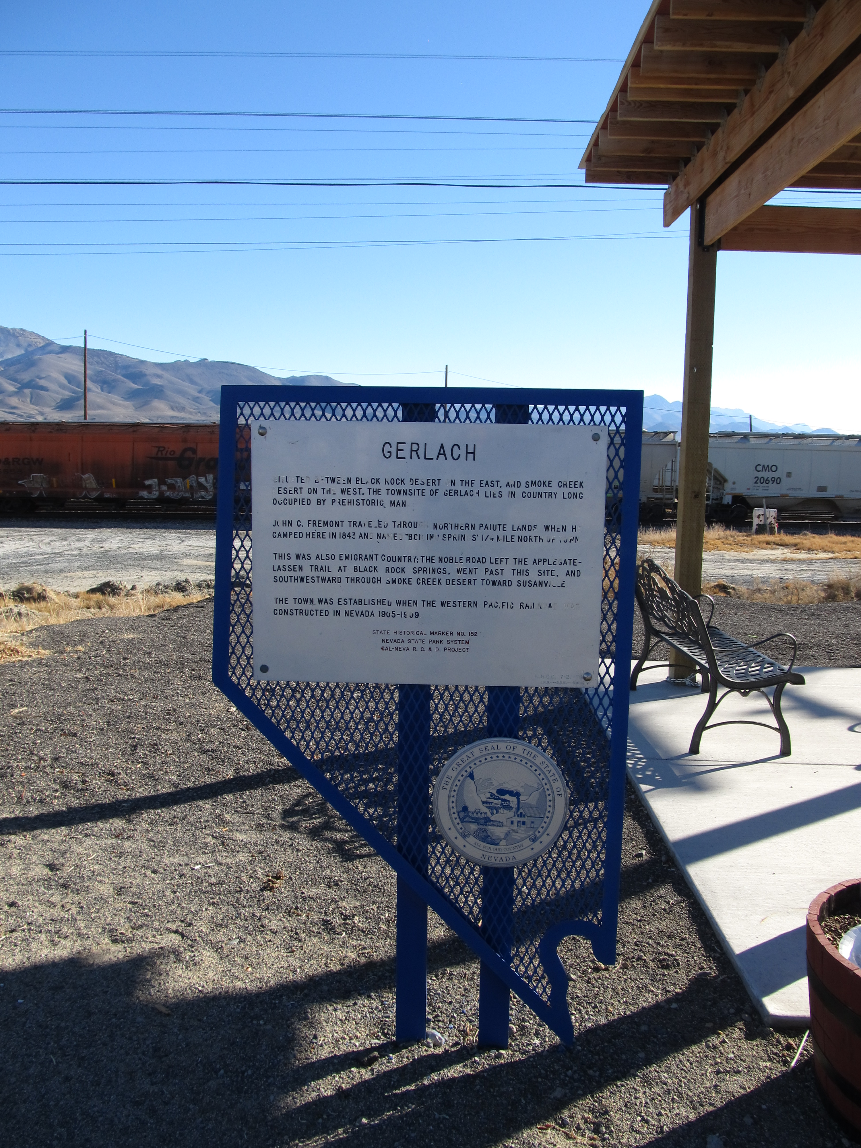
Description: Situated between Black Rock Desert on the east and Smoke Creek Desert on the west, the townsite of Gerlach lies in country long occupied by prehistoric man. John C. Fremont traveled through Northern Paiute Indian lands when he camped here in 1843 and named "Boiling Springs" 1/4 mile north of town. This was also emigrant country; the Noble Road left the Applegate-Lassen Trail at Black Rock Springs, went past this site and southward through Smoke Creek Desert toward Susanville. The town was established when the Western Pacific Railroad was constructed in Nevada 1905-1909. It still functions as a railroad division headquarters. www.nevada-landmarks.com/wa/shl152-2.htm
Title: Gerlach, Nevada Historical Marker No. 152, Gerlach, Nevada (11128459705)
Credit: Gerlach, Nevada Historical Marker No. 152, Gerlach, Nevada
Author: Ken Lund from Reno, Nevada, USA
Usage Terms: Creative Commons Attribution-Share Alike 2.0
License: CC BY-SA 2.0
License Link: https://creativecommons.org/licenses/by-sa/2.0
Attribution Required?: Yes
Image usage
The following page links to this image:

.jpg)