
Image: GoughMap ca 1360
Size of this preview: 800 × 423 pixels. Other resolutions: 320 × 169 pixels | 1,096 × 580 pixels.
Original image (1,096 × 580 pixels, file size: 168 KB, MIME type: image/jpeg)
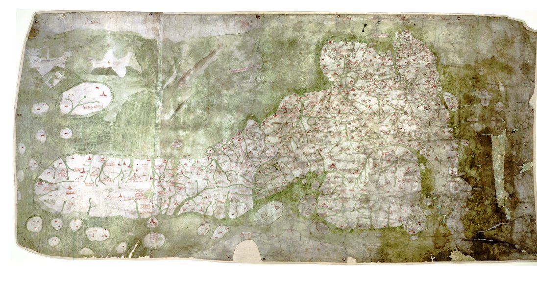
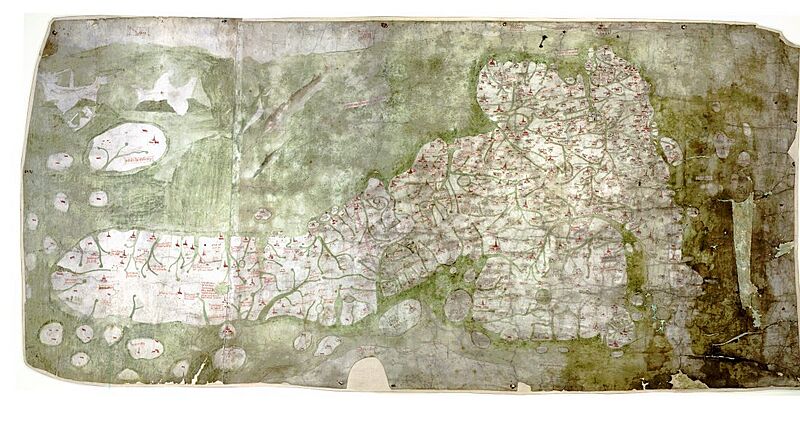
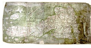
Description: The Gough Map or Bodleian Map is a road map of Great Britain, dating from around 1360. The Gough Map is the oldest extant map of the roads of medieval Britain. It is about 115 x 56cm large and was made around 1360. It is named after Richard Gough, who donated the map to the Bodleian Library in 1809. East is on the top.
Title: GoughMap ca 1360
Credit: anonymous, Scan by the Bodleian Library
Author: Unknown authorUnknown author
Permission: PD-old
Usage Terms: Public domain
License: Public domain
Attribution Required?: No
Image usage
The following page links to this image:

All content from Kiddle encyclopedia articles (including the article images and facts) can be freely used under Attribution-ShareAlike license, unless stated otherwise.