
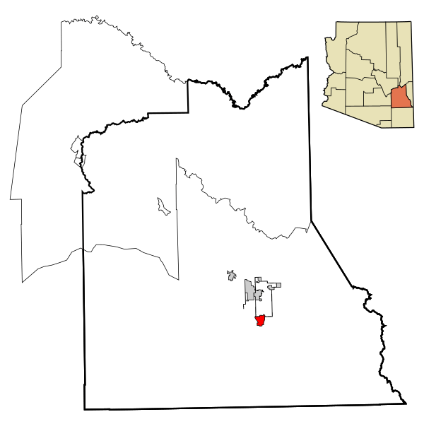
Image: Graham County Incorporated and Unincorporated areas Swift Trail Junction highlighted

Description: This map shows the incorporated areas and unincorporated areas in Graham County, Arizona. Swift Trail Junction is highlighted in red. Incorporated cities are shown in gray and unincorporated communities or CDPs are shown in white. Data for the borders and locations are based on maps from the US Census Bureau TIGER Map Server, as well as SouthEastern Arizona Governments Organization HPMS Maps and Records. I created this map in Inkscape.
Title: Graham County Incorporated and Unincorporated areas Swift Trail Junction highlighted
Credit: My own work, based on public domain information
Author: The source code of this SVG is invalid due to an error. This W3C-invalid vector image was created with Inkscape by Ixnayonthetimmay.
Usage Terms: Public domain
License: Public domain
Attribution Required?: No
Image usage
The following page links to this image:
