
Image: GreaterItalia
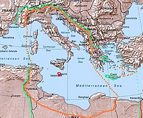
Size of this preview: 728 × 599 pixels. Other resolutions: 292 × 240 pixels | 759 × 625 pixels.
Original image (759 × 625 pixels, file size: 201 KB, MIME type: image/jpeg)
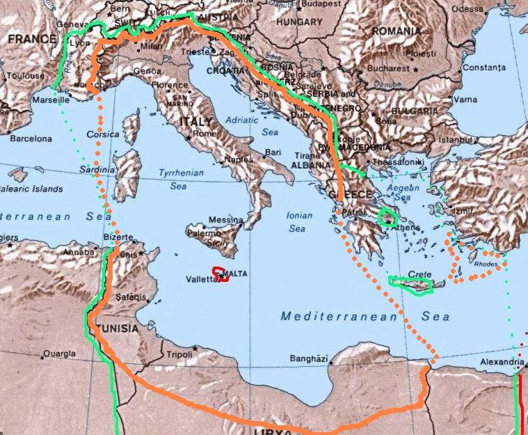
Description: Map of the 1940 project "Imperial Italia", inside the orange line and dots, in Europe and North Africa. Self-made (I have based my work on the original Commons Image:Mediterranean Relief.jpg, licensed PD-USGov). The green line and dots show the biggest extension of Italian control in the Mediterranean sea in november 1942 (while the red shows the British controlled areas, like Malta).
Title: GreaterItalia
Credit: Own work
Author: Brunodambrosio
Usage Terms: Public domain
License: Public domain
Attribution Required?: No
Image usage
The following page links to this image:

All content from Kiddle encyclopedia articles (including the article images and facts) can be freely used under Attribution-ShareAlike license, unless stated otherwise.