
Image: Historisch Nordamerika (cropped)
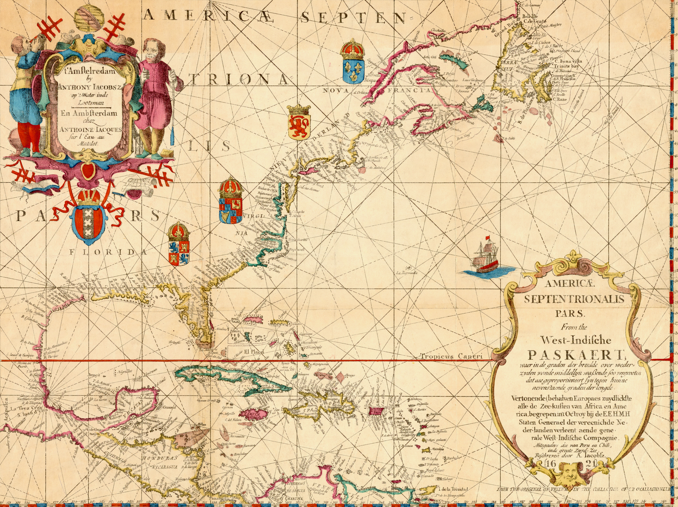
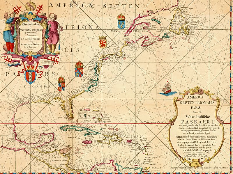
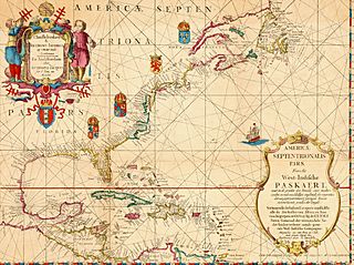
Description: Old map of North America, the Caribbean, and northern South America; covers area north from Venezuela to Labrador; includes decorative cartouches and illustrations. This is a facsimile, from the original on vellum in the collection of E.B. O'Callaghan LLD. Full title of map: Americæ septentrionalis pars: from the West-Indische paskaert; waer in de graden der breedde over wederzyden vande middellyn waßende soo vergrooten dat die geproportioneert syn tegen hunne nevenstaende graden der lengde From: O'Callaghan, E.B. , ed. (1856) Documents Relative to the Colonial History of the State of New York, I, Albany, N.Y.: Legislature of the State of New York
Title: Historisch Nordamerika (cropped)
Credit: This image is available from the New York Public Library's Digital Library under the digital ID 5372761: digitalgallery.nypl.org → digitalcollections.nypl.org
Author: Anthoni Jacobsz (1594-1624), cartographer Francis D'Avignon (1813–?), lithographer E.B. (Edmund Bailey) O'Callaghan (1797–1880), collector
Usage Terms: Public domain
License: Public domain
Attribution Required?: No
Image usage
The following 2 pages link to this image:

.jpg)