
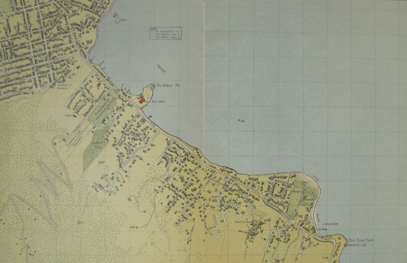
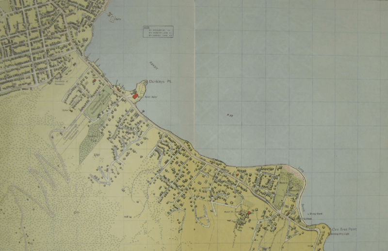
Image: Hobart aerial survey 1954 map2-3
Size of this preview: 800 × 518 pixels. Other resolutions: 320 × 207 pixels | 1,368 × 885 pixels.
Original image (1,368 × 885 pixels, file size: 2.32 MB, MIME type: image/png)
Description: Map 2-3 of w:Hobart aerial survey map (Sandy Bay)
Title: Hobart aerial survey 1954 map2-3
Credit: University of Tasmania - http://eprints.utas.edu.au/17486/
Author: Department of Lands and Surveys, Governent of Tasmania
Usage Terms: Creative Commons Zero, Public Domain Dedication
License: CC0
License Link: http://creativecommons.org/publicdomain/zero/1.0/deed.en
Attribution Required?: No
Image usage
The following page links to this image:

All content from Kiddle encyclopedia articles (including the article images and facts) can be freely used under Attribution-ShareAlike license, unless stated otherwise.