
Image: Holybourne Down - geograph.org.uk - 117586
No higher resolution available.
Holybourne_Down_-_geograph.org.uk_-_117586.jpg (640 × 480 pixels, file size: 106 KB, MIME type: image/jpeg)
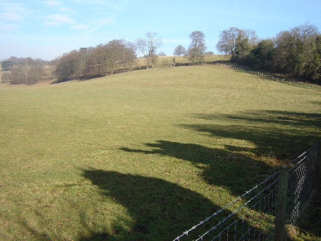
Description: Holybourne Down. There is an old Roman road passing through the centre of the picture, there is a slight dip in the ground about a third of the way down which seems to line up with the road on the map. The road went from Silchester to Chichester. Holybourne is believed to be the site of a Roman posting station called Vindomi.
Title: Holybourne Down - geograph.org.uk - 117586
Credit: From geograph.org.uk
Author: Graham Clutton
Usage Terms: Creative Commons Attribution-Share Alike 2.0
License: CC BY-SA 2.0
License Link: https://creativecommons.org/licenses/by-sa/2.0
Attribution Required?: Yes
Image usage
The following 2 pages link to this image:

All content from Kiddle encyclopedia articles (including the article images and facts) can be freely used under Attribution-ShareAlike license, unless stated otherwise.