List of hills of Hampshire facts for kids
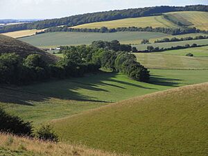
Hampshire is a county in southern England, known for its beautiful countryside. This article lists the many hills found across Hampshire. These hills are not just great places for hiking; many are also important historical sites, archaeological spots, and homes for wildlife.
What Makes a Hill Special?
Hills are often classified based on how much they rise above the land around them. This is called "prominence." Imagine a hill standing tall from its lowest point; that height is its prominence. The higher the prominence, the more important or noticeable a hill usually is.
In Hampshire, hills are grouped into different types:
- Marilyns: These are hills that rise at least 150 meters (about 500 feet) from the land around them. They are shown in a light beige color in the table below.
- HuMPs: This stands for "Hundred Metre Prominence." These hills rise at least 100 meters but less than 150 meters. They are shown in a light purple color.
- TuMPs: These hills rise at least 30 meters but less than 100 meters. They are the most common type of hill in this list.
Some hills are included even if they don't fit these exact rules, especially if they are very well-known or important. For example, the highest points of Portsmouth and Southampton are included, even though they are technically in different areas now, because they were historically part of Hampshire.
Hills of Hampshire
| Hill | Height (meters) | Range/Region | Remarks | Image |
|---|---|---|---|---|
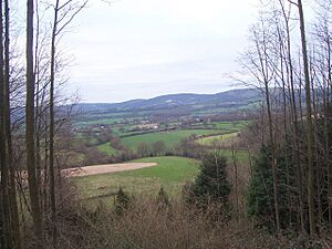
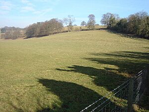
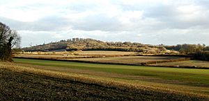
| Pilot Hill | 286 | Hampshire Downs | This is the highest point in Hampshire. Part of its side is in the county of Berkshire. | |
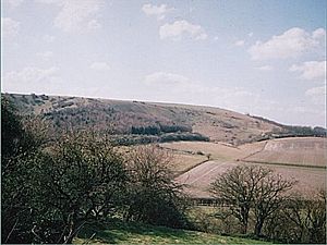
| Butser Hill | 270 | South Downs | Hampshire's only Marilyn. It's the highest point in the South Downs. You can find ancient Iron Age earthworks here. It's also a special nature reserve. | |
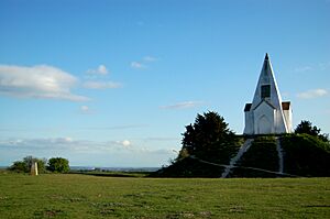
| Sidown Hill | 266 | Hampshire Downs | On its top is "Heaven's Gate," a historic building. | |
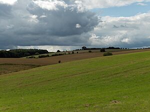
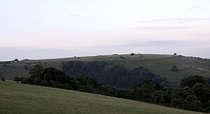
| Beacon Hill | 261 | Hampshire Downs | This hill is near Burghclere. It used to have the most famous beacon (a signal fire) in Hampshire. It also has an ancient hill fort and is a nature reserve. | |
| Wheatham Hill | 249 | Hampshire Downs, East Hampshire Hangers | ||
| War Down | 244 | South Downs | ||
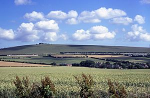
| Watership Down | 237 | Hampshire Downs | This famous hill is the setting for Richard Adams' well-known novel about rabbits. | |
| Wether Down | 234 | South Downs | ||
| Ladle Hill | 232 | Hampshire Downs | This hill has a unique example of an ancient hill fort that was never finished. | |
| Holybourne Hill | 225 | Hampshire Downs | This hill is near the village of Holybourne. It is also known as Holybourne Down. | |
| Red Hill | 221 | Hampshire Downs | ||
| Goleigh Hill | 220 | Hampshire Downs East Hampshire Hangers |
This hill is near the villages of Empshott and Noar Hill. | |
| King's Hill | 218 | Hampshire Downs | You can find this hill on the road between Medstead and Beech. | |
| Noar Hill | 214 | Hampshire Downs, East Hampshire Hangers | Located near Empshott and Goleigh Hill. | |
| Pidham Hill | 213 | South Downs | ||
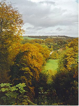
| Selborne Hill | 211 | Hampshire Downs, East Hampshire Hangers | The top of this hill is covered by Selborne Common, a lovely natural area. | |
| Farleigh Hill | 208 | Hampshire Downs | ||
| Head Down | 205 | South Downs | This hill is about 1 kilometer south of Buriton. | |
| Oakham Hill | 202 | South Downs | ||
| Beacon Hill | 201 | South Downs | ||
| Henwood Down | 201 | South Downs | ||
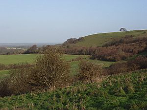
| Old Winchester Hill | 197 | South Downs | This hill has an ancient Iron Age hill fort and a Bronze Age burial ground. It is also a special nature reserve. | |
| Windmill Hill | 194 | South Downs | At the top of this hill, you can see a historic windmill. | |
| Farley Mount | 178 | Hampshire Downs | Near the top of this hill is a "folly," which is a building built just for decoration. | |
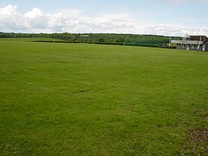
| Broadhalfpenny Down | 158 | South Downs | This hill is famous for being a historic cricket ground. | |
| Fort Southwick |
122 | South Hampshire Lowlands | This is the highest point in Portsmouth. | |
| King John's Hill | 115 | Hampshire Downs | This hill has an Iron Age hill fort and was once home to a medieval hunting lodge. | |
| St. Catherine's Hill | 97 | Hampshire Downs | This hill is a special nature site and has an ancient Iron Age hill fort. | |
| Bassett Avenue | 82 | South Hampshire Lowlands | This is the highest point in Southampton, located in the Bassett area. |
See also
- List of mountains and hills of the United Kingdom
- List of Marilyns in England
- Geology of Hampshire
 | Shirley Ann Jackson |
 | Garett Morgan |
 | J. Ernest Wilkins Jr. |
 | Elijah McCoy |


