
Image: Illinois Free And Slave Counties 1824 Map II
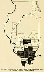
Size of this preview: 371 × 600 pixels. Other resolutions: 148 × 240 pixels | 563 × 910 pixels.
Original image (563 × 910 pixels, file size: 83 KB, MIME type: image/jpeg)
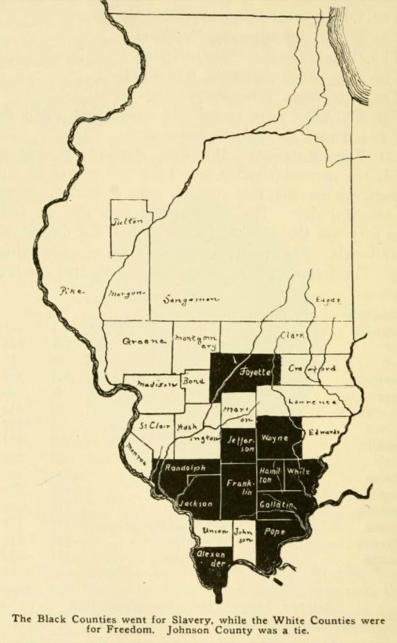
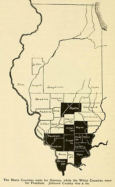
Description: Map Illustation of Illinois Free And Slave Counties in 1824 from the book, A history of southern Illinois : a narrative account of its historical progress, its people, and its principal interests, by Smith, George Washington, 1855-1945, Publisher: Chicago, IL: The Lewis Publishing Co., p. 158.
Title: Illinois Free And Slave Counties 1824 Map II
Author: George Washington Smith
Permission: Public Domain
Usage Terms: Public domain in the United States
License: PD-US
License Link: //en.wikipedia.org/wiki/File:Illinois_Free_And_Slave_Counties_1824_Map_II.jpg
Image usage
The following 2 pages link to this image:

All content from Kiddle encyclopedia articles (including the article images and facts) can be freely used under Attribution-ShareAlike license, unless stated otherwise.